

Sierra Calderona · Valencian Community · Spain
Sierra Calderona: The Best of Valencia's Mountains, From Iberian Ruins to a Dragon
From a dragon-shaped house on a rust-red hillside to Iberian ruins and a mountaintop viewpoint, these are the Sierra Calderona day trips worth leaving Valencia's beach for.
Most people who come to Valencia come for the city and the beach, and never find out that there are proper mountains three quarters of an hour inland. It is where people here go when they want a morning in the hills rather than on the sand. Every place I've included here is free to visit. It smells of hot pine resin and rosemary, the soil is a startling rust red, and in most of it you hear nothing but birds and the wind moving through the trees.
I like hiking, and over the years I’ve explored different corners of the Calderona, which is the advantage of having it on the doorstep. This is what I’d point you towards. It isn’t a list of everything in the park - these are the places that come to mind first when I think about what the Sierra Calderona has to offer, and what I like about them is that each one gives you something completely different. A viewpoint you can drive to in under an hour. An ancient Iberian settlement on top of a hill. A wide, green walk where nothing is complicated. A hillside with a dragon-shaped house on it. They happen to sit in the same range, but they aren’t the same day out at all.
Mirador del Garbí: the balcony of the range
Choose this one if you’re in the mood for a big view without earning it.
Garbí is the best-known jewel of the Calderona, and honestly, if you’ve lived in Valencia for months or years and haven’t been, you don’t quite count.
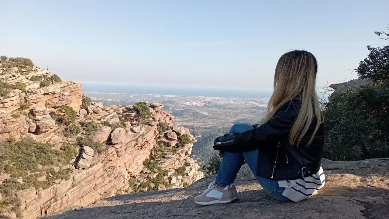
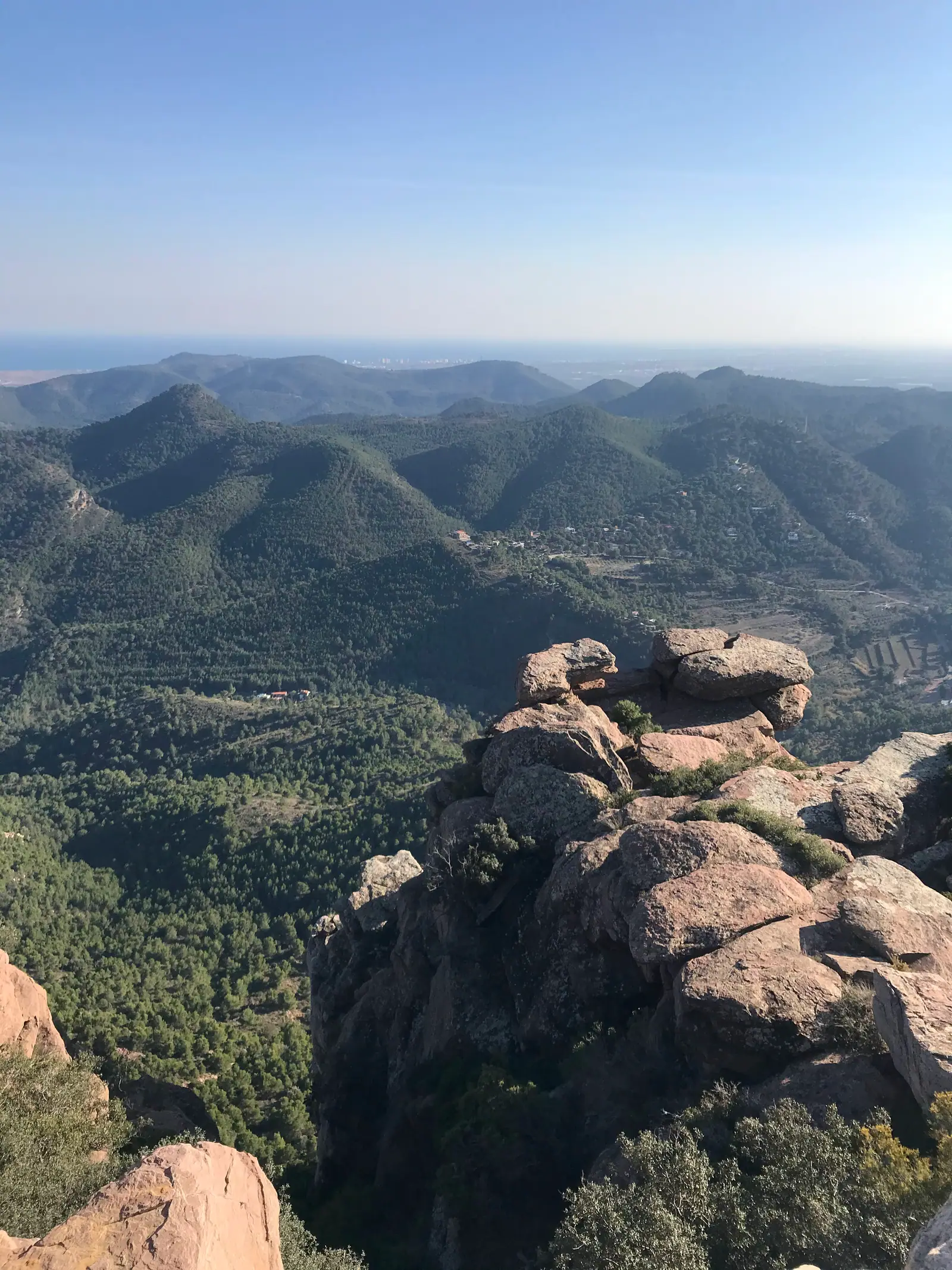
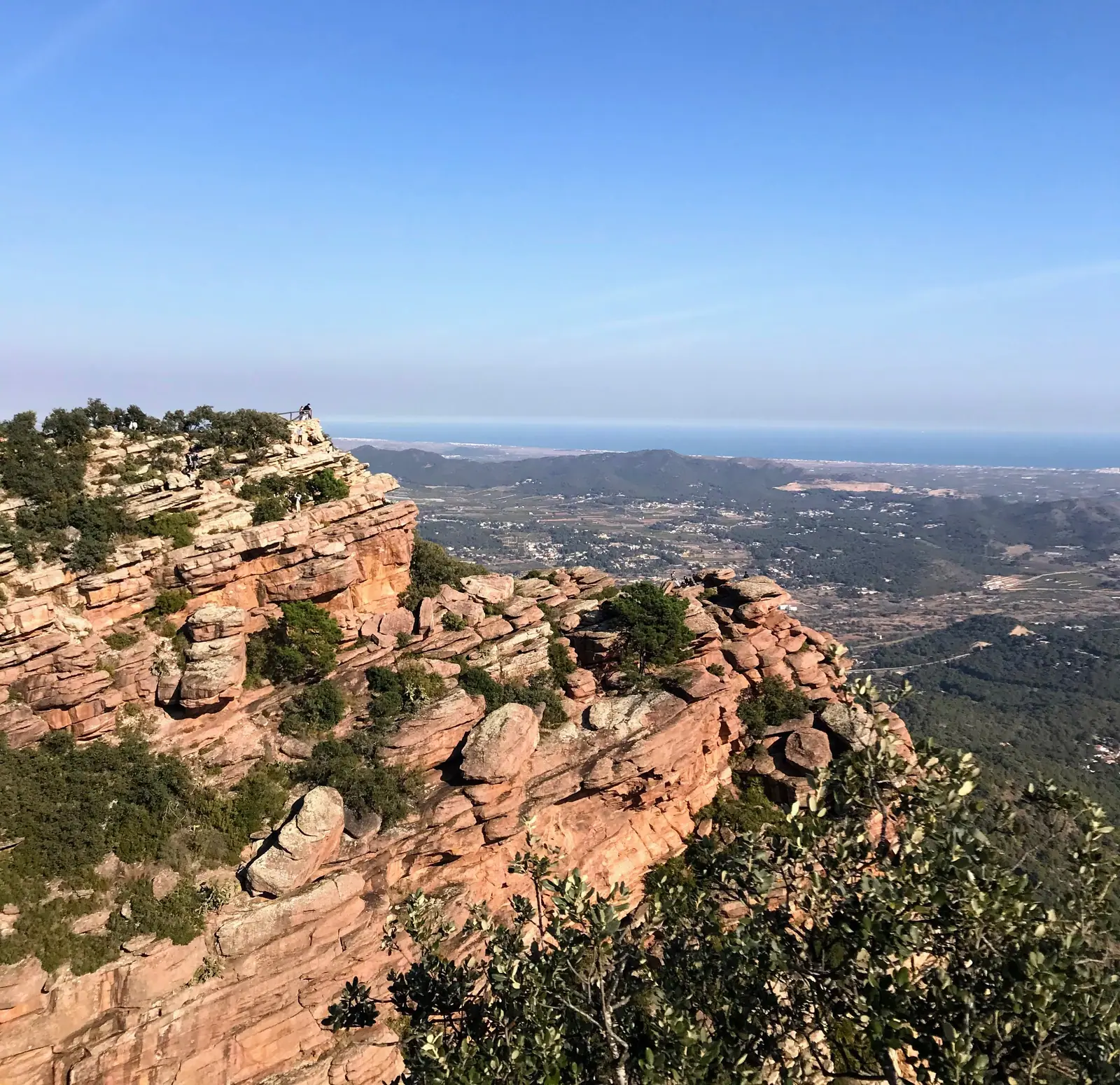
The Mirador del Garbí sits at around 600 metres, about 40 kilometres and 45 minutes’ drive from Valencia. It’s the obvious first stop, and it earns it: from the top you look out over the Gulf of Valencia on one side and the folds of the range on the other. On a clear day the view reaches all the way down the coast to the Montgó, the mountain above Dénia, which is about 100 kilometres away. What stands out for me, though, isn’t only the view - it’s the rock formations, red rodeno sandstone arranged in shapes that look deliberate, more like sculpture than geology.
There’s a parking area, and the viewpoint is a walk of about ten minutes from there along a marked path through the rocks. Nothing difficult, and fine with children.
If a car isn’t an option, you can take the Cercanías train to Estivella-Albalat or a bus to Estivella, but be ready to hike from there - this is a mountain, and public transport leaves you at the bottom of it.
Going up the hard way
There’s another way to Garbí, from the village of Segart: the Ruta de les Cadenes, up the Canal del Garbí. I did it in 2024. It’s a challenging route - some parts are steep, and there are sections where you’re holding tight onto the rock and the chains so as not to fall.
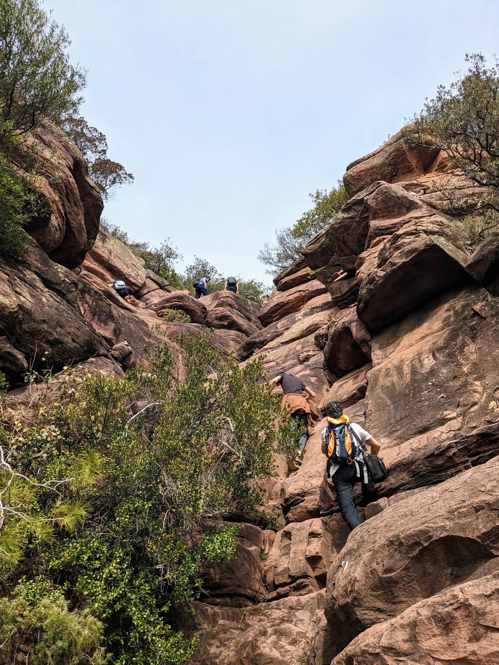
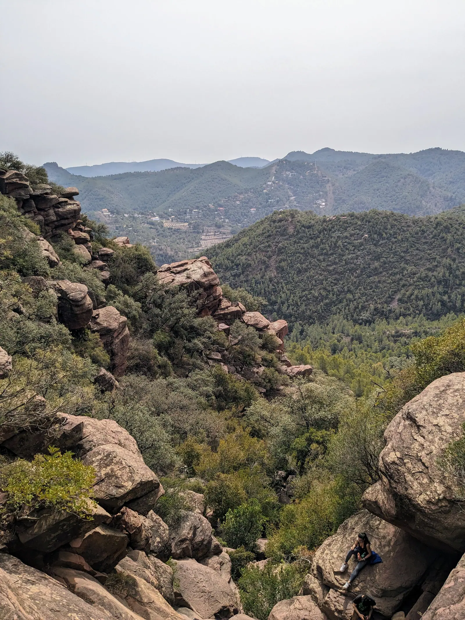
The Ruta de les Cadenes is steep and exposed, so check current conditions before setting off and do not attempt it if you are not comfortable with this kind of terrain. If it doesn’t sound like your kind of thing, drive up to the parking instead. The view from the top is the same.
El Puntal dels Llops, and the free guided tour
Choose this one if you like history as much as landscapes.
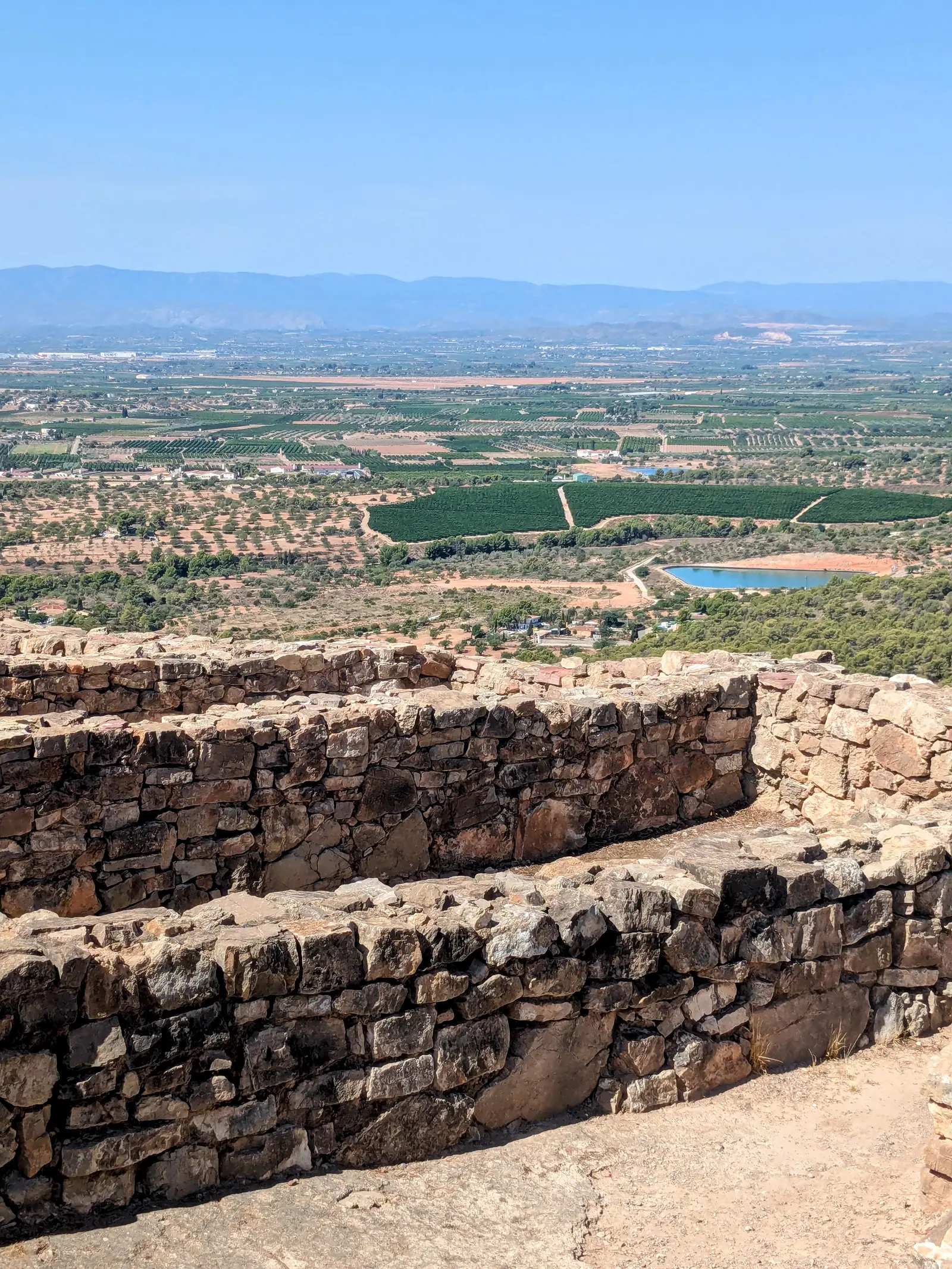
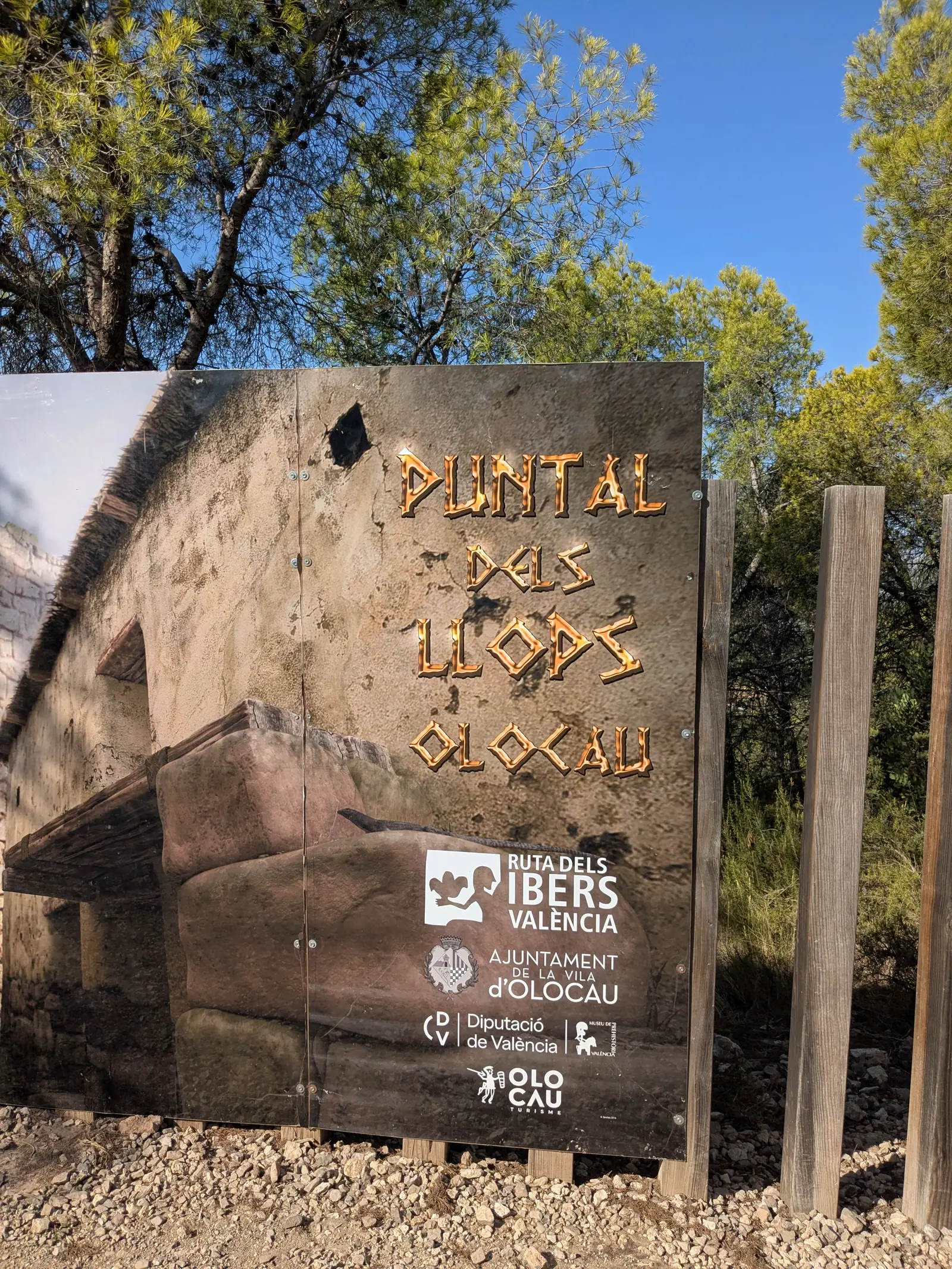
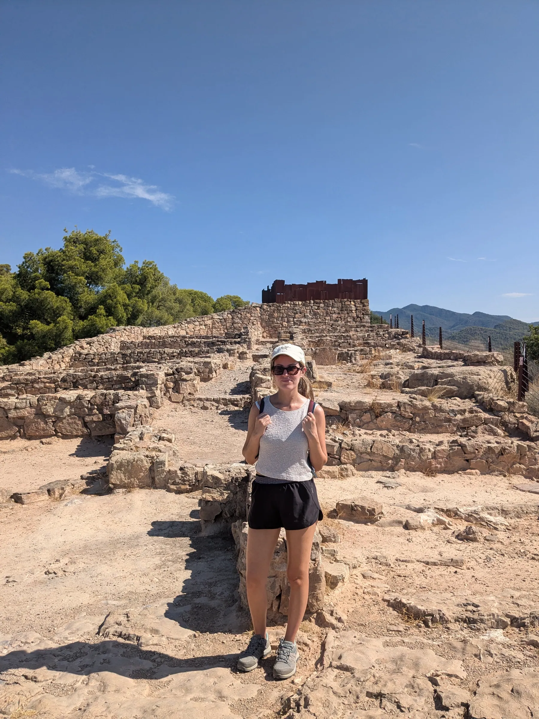
Olocau is about 38 kilometres from Valencia, a little over half an hour by car. On a hilltop above the village, Puntal dels Llops was a fortified Edetan residence occupied between the fifth and second centuries BC. It was a real discovery for me. An aristocrat from Edeta’s mounted warrior elite lived there with his family and dependants. It was destroyed by fire in the early second century BC, and what’s left is still up there.
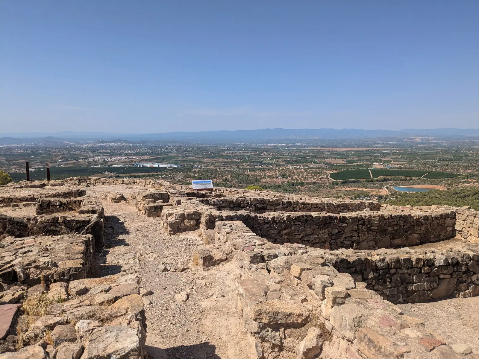
What makes this place worth the trip is the guided tour, which the town council runs at no charge. You can book it in advance through Olocau’s official Puntal dels Llops page, and the guides are archaeologists: people who know the material and are visibly interested in it. We booked ours a day ahead and it was fine, but that was the middle of August with everyone else at the beach - we had the guide entirely to ourselves. Outside August you’ll want to book further in advance.
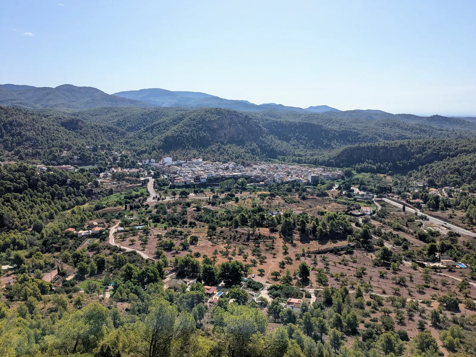
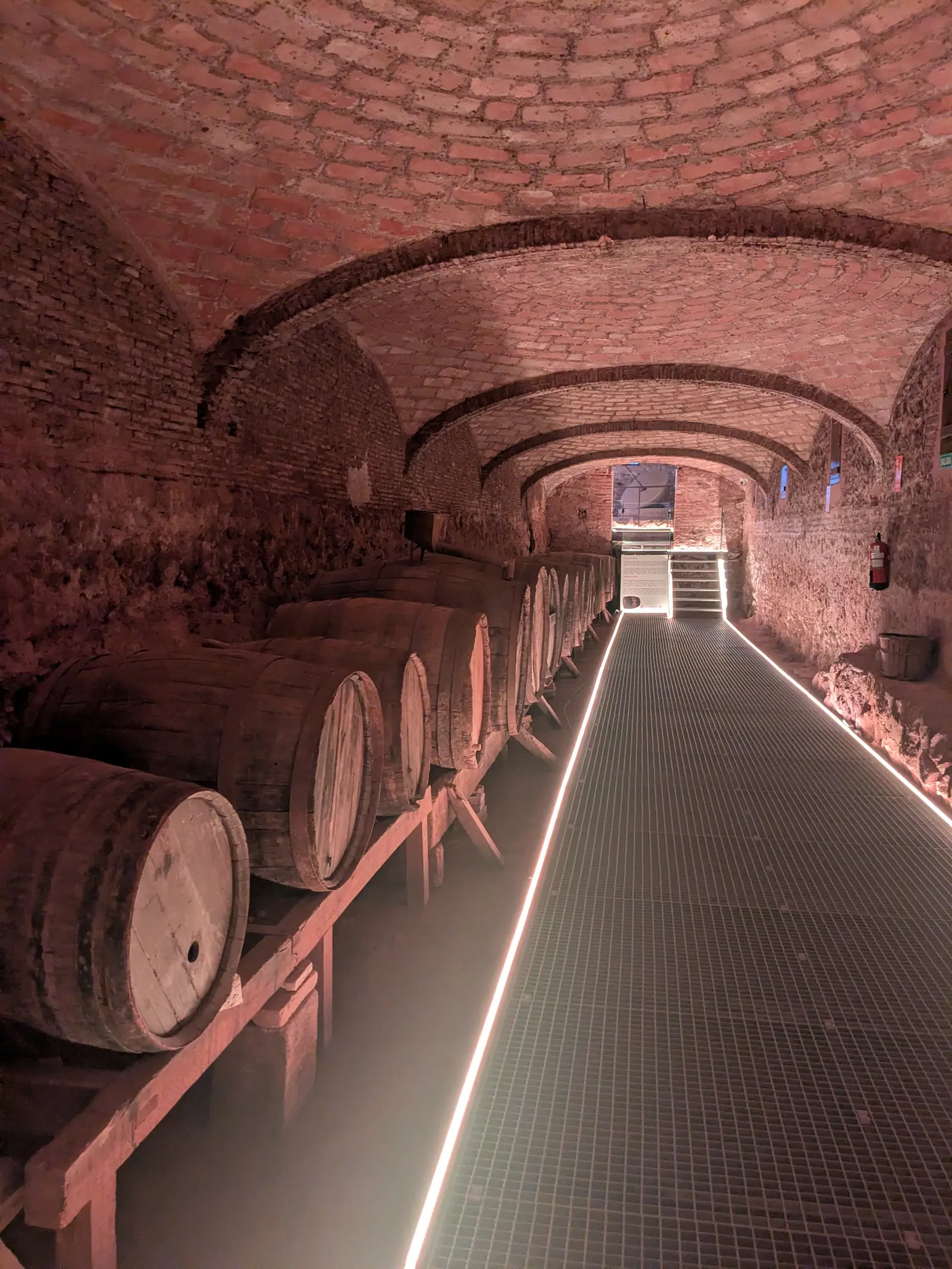
Ours started at half past nine and ran about three and a half hours in total. A kilometre and a half up to the site and the same back down, and then a short drive into Olocau to the museum in the Casa de la Senyoria, where the tour finishes. What you get in between is far more than a walk around some stones: the history of the Iberians who lived here, the wars and the events that reached this area, and an explanation of what each part of the settlement was for. The ruins themselves are low - foundations rather than standing walls - and the guide is what turns them back into a place. Which stones were the storerooms, where the tower stood, where people slept and worked: on your own it’s a hilltop with stones on it, and with someone reading it for you it’s a village. Arriving at the top is the best part, and the view explains immediately why anyone would build a watchtower there.
Read my full Puntal dels Llops article, because it deserves more than a paragraph. For now: book the tour.
Portaceli: the easy walk with the big views
Choose this one if you’re in the mood for a long green walk where you don’t have to think about anything.
The other side of the park has a completely different feel, and this is the walk I’d send most people on.
Start at the Cartoixa de Portaceli, a Carthusian monastery founded in 1272 in the Lullén valley near the village of Serra, around 30 kilometres and half an hour from Valencia. The name means “gate of heaven”, which tells you what the monks thought of the setting. You can park there. Don’t expect to go in - it was the first Carthusian monastery built in the old Kingdom of Valencia and it is still inhabited by monks, and Carthusians live in near-total silence and seclusion, so it’s closed to visitors. It was closed when we were there, and it will most probably be closed when you are there, although some people I know have been lucky enough to get in because they sometimes open the gate.
You may not see much of it from the ground either. The land immediately around the monastery is enclosed, and from the walking area we couldn’t see it at all. If you want the view of it, the place to go is the Mirador de la Pedrera, a viewpoint on the hillside above, which looks straight down into the Lullén valley with the monastery below you. Be warned that the pines have grown up since it was built, so you may have to move around to find a clear angle.
From the monastery a road leads up into the hills, and you simply follow it. There’s a Gothic aqueduct by the monastery, twelve arches built in 1412 to carry spring water down to the buildings, and it’s the first thing you see as you set off.
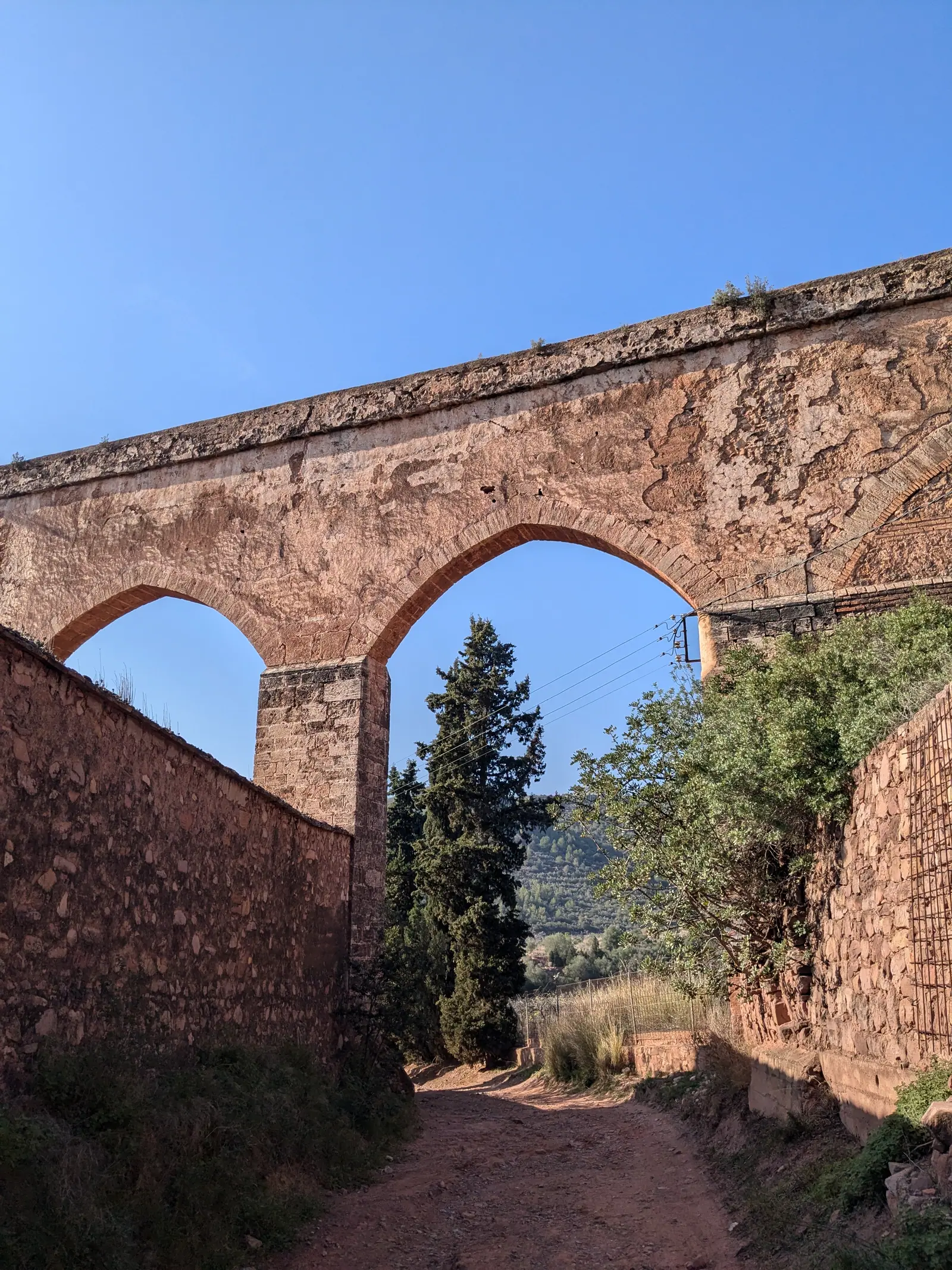
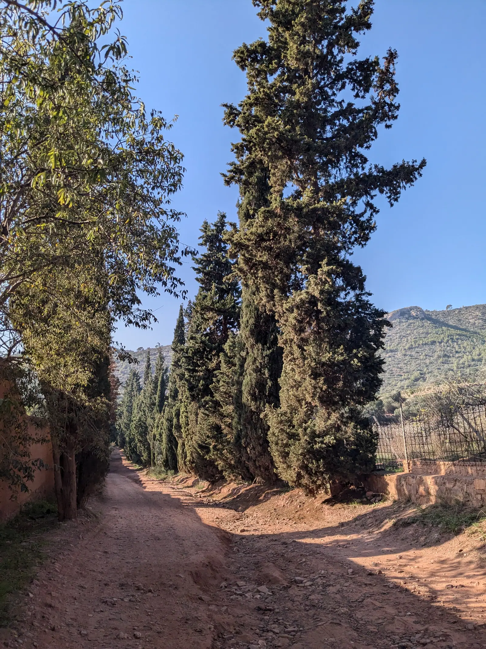
The route is straightforward if you stay on the broad main track: walk as far as you feel like, then turn around. Some sections are a bit steep, and there is some exposure in places, but the track is wide and there’s nothing technical about it. Its broad, fairly even surface can also work well for mountain bikes.
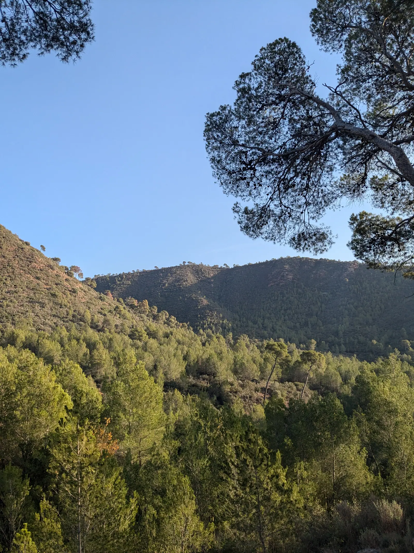
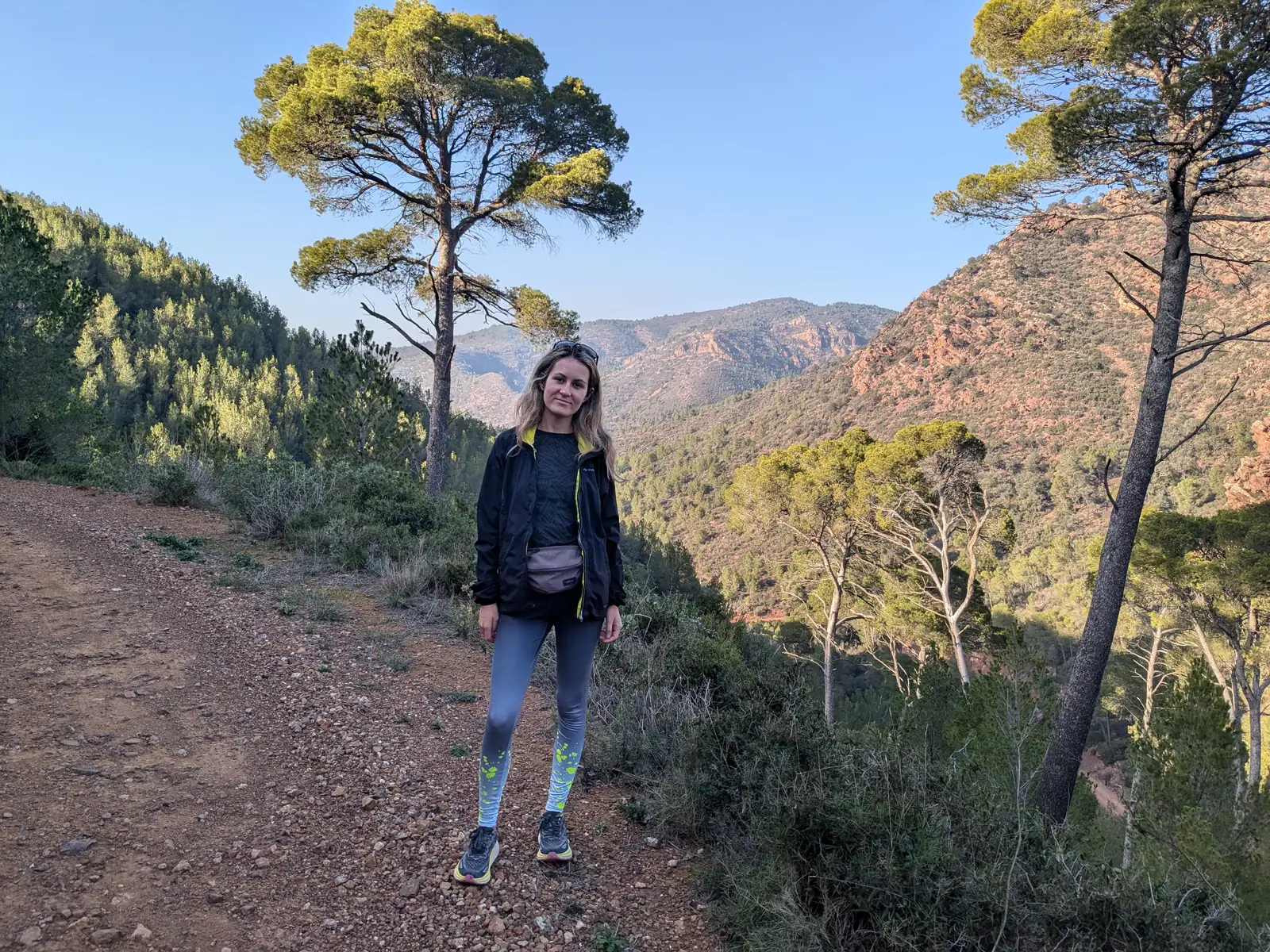
Along the way there are small springs, including the Font del Berro - we walked somewhere past it before turning back. The views open up as you climb: immense and green.
Gilet: a monastery, viewpoints and a dragon
Choose this one if you’re in the mood for a little surprise at the end of a walk.
Gilet is a cute town on the south-eastern edge of the park, about 30 kilometres from Valencia and half an hour’s drive, and a good base for walking. The usual starting point and parking area are by the Monestir de Sant Esperit, a monastery complex with several old buildings around it, worth a look before you set off. (It also runs a guesthouse, if you ever wanted to stay inside the park.)
From here my favourite is the Xocainet observation deck, which looks down over Gilet, across to Sagunto and out to the sea. It’s one of the peaks on the same circuit that takes in the dragon, so you can pick both up in a single walk - along with the Pic de l’Àguila, at 466 metres the high point of the route, where the view opens out over the whole range.
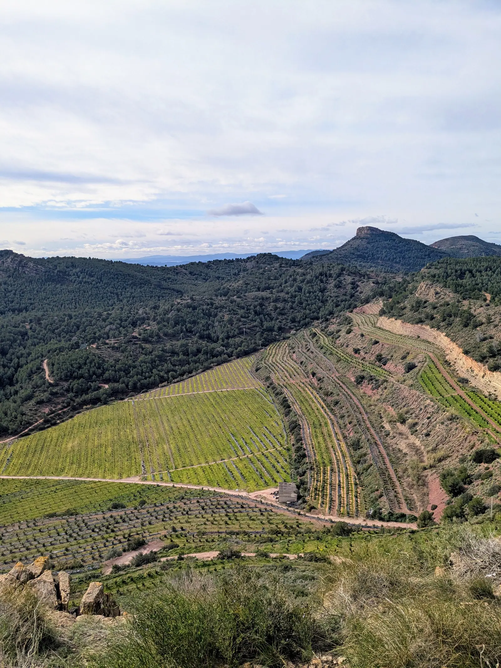
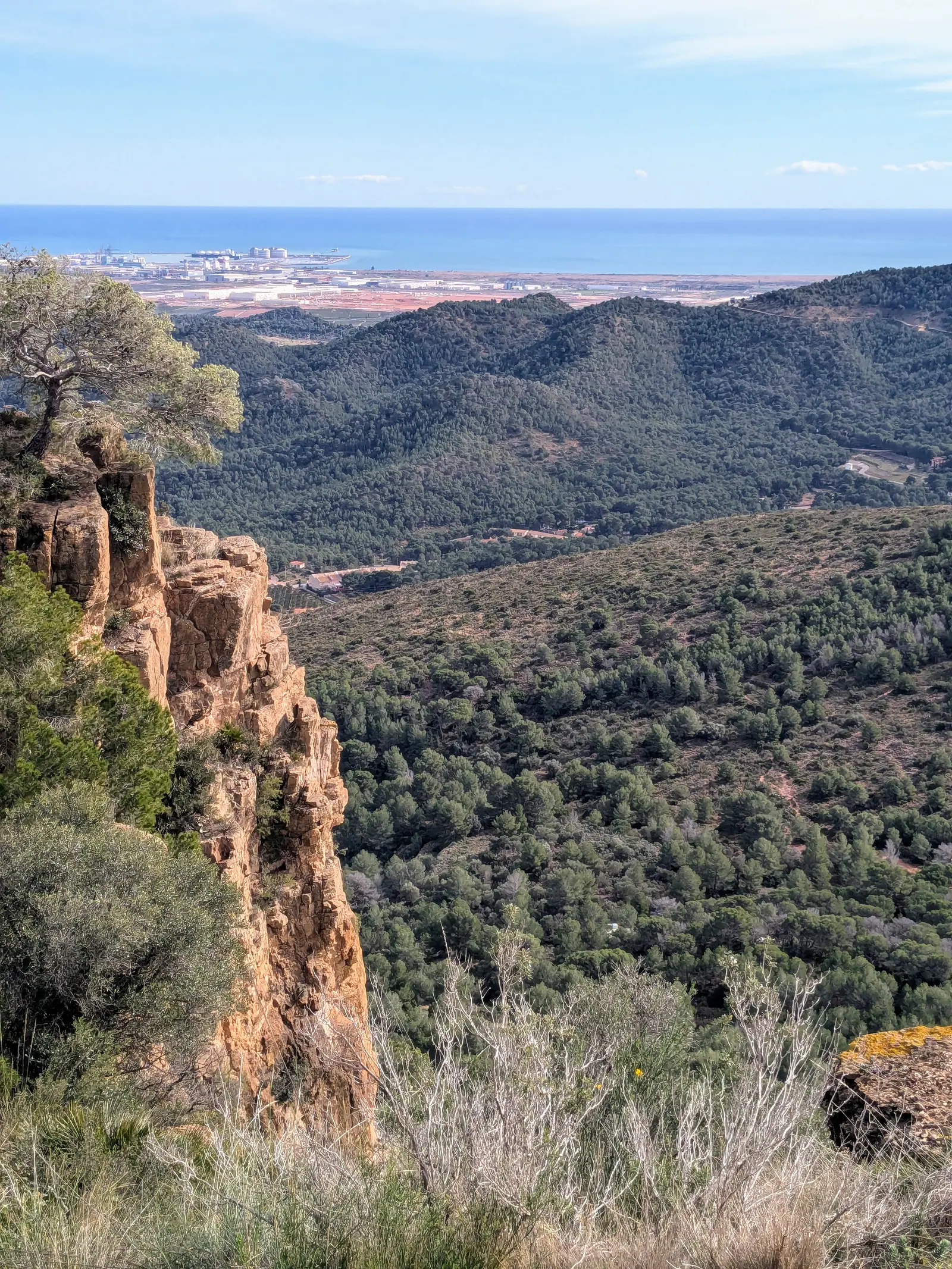
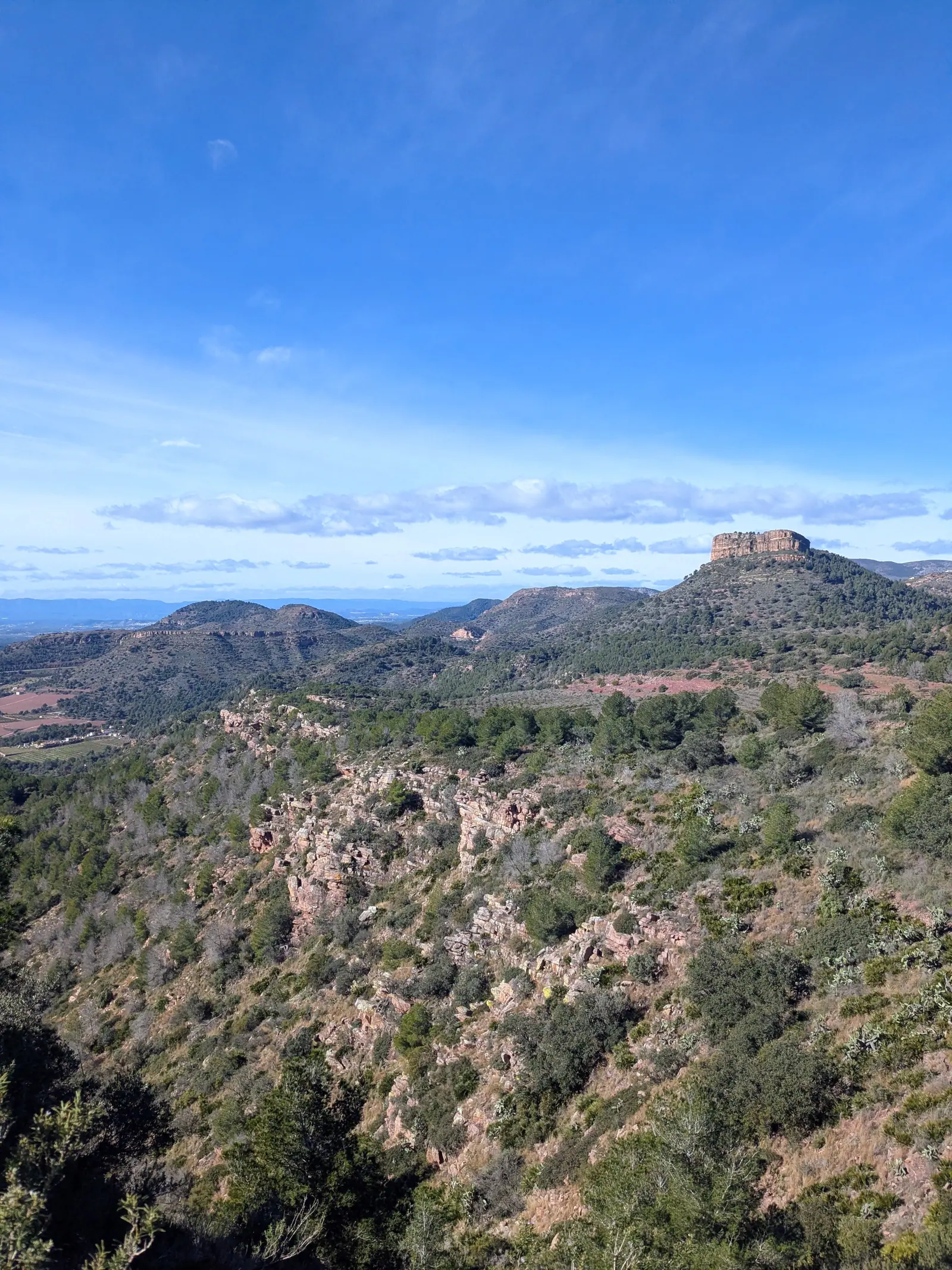
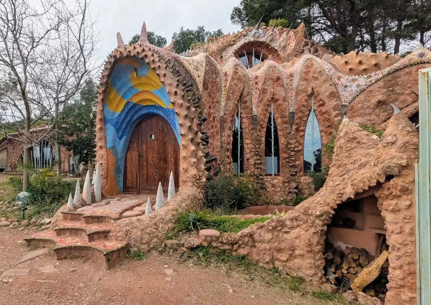
And there’s an odd bonus in this area: a dragon house, standing on the hillside in the middle of nowhere. It’s a building shaped like a dragon - the door is its mouth, the windows its eyes, and the walls are covered in broken ceramic like scales - and the style owes a lot to Gaudí. It was built from around 2005 by a sculptor on the site of an abandoned quarry, as a centre for art and research.
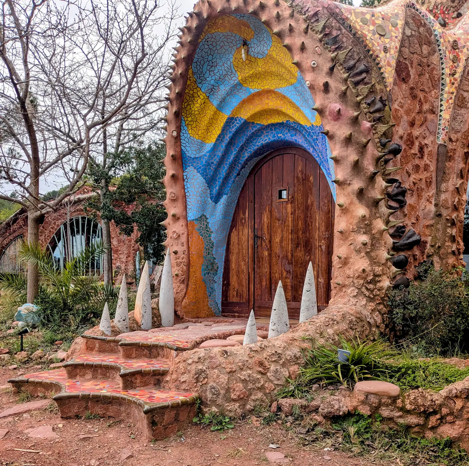
It’s private property and normally closed, but that hardly matters: from outside you can see the whole thing clearly, and there’s nothing subtle about it. Coming across a dragon on a mountain path is not what you expect at all, which is exactly why it’s worth the detour.
Getting there is a walk, not a stroll. We reached it on the circular route over Gilet’s seven peaks, which came to just under 13 kilometres with the dragon roughly in the middle of it. If that’s more than you want, there’s a shorter out-and-back from the monastery of about 6 kilometres that goes to the dragon and returns the same way. It’s also possible to drive further up and park in the residential streets that spread across the hillside, which gets you closer, though we’ve always walked in from the monastery. Either way it’s easy enough to find on the map.
Serra: a castle, and a hill full of watchtowers
Choose this one if you want a ruin at the top of your walk.
Serra is a hill village about 30 kilometres from Valencia, and the most atmospheric of the settlements around the park - with a 16th-century parish church, two hermitages, and streets that still follow the shape of the hill.
What sets it apart is what’s scattered around it. There are four old Islamic watchtowers here: the Torre del Señor in the middle of the village, and three more standing out in the hills.
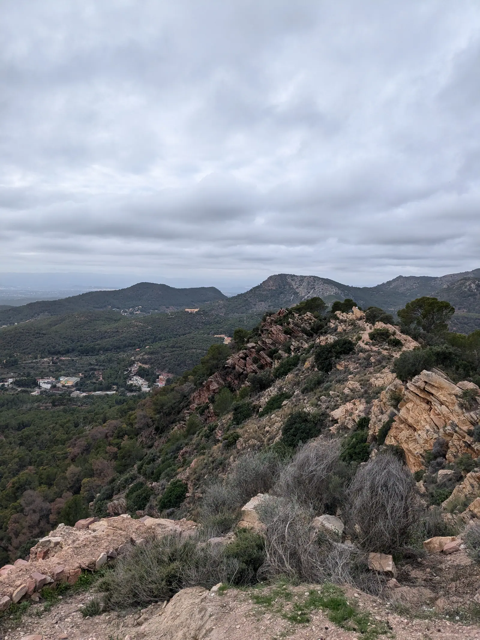
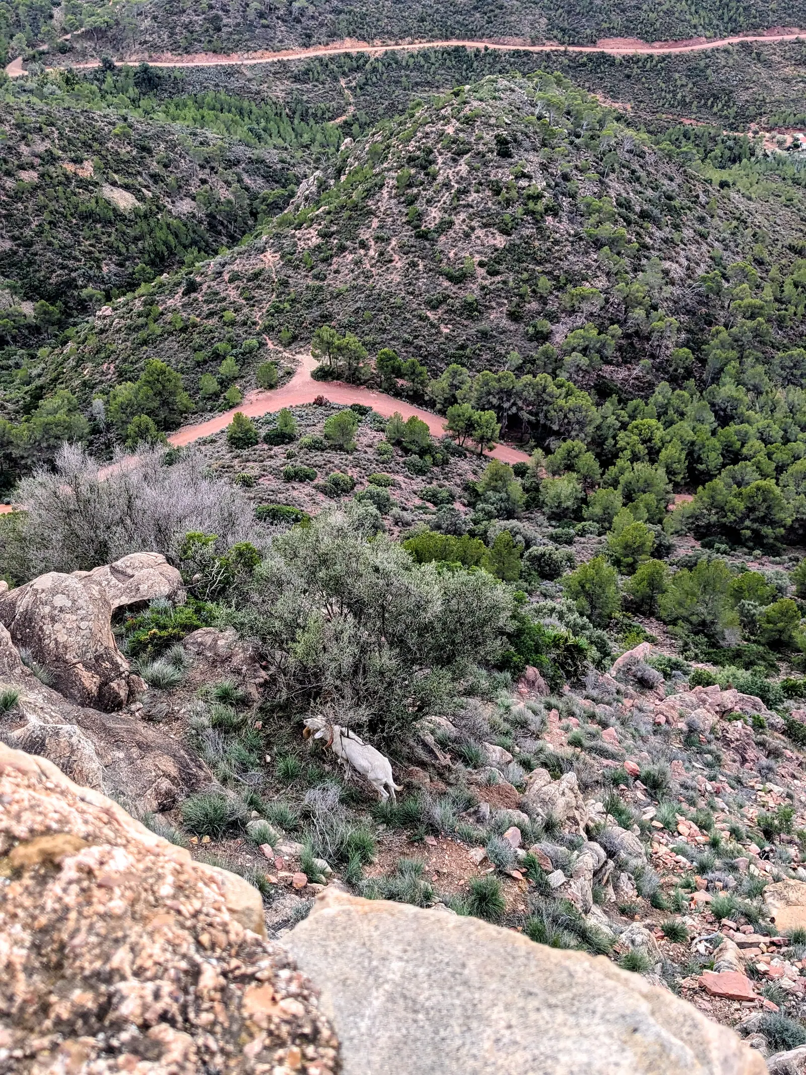
Above the village stands the Castell de Serra, a ruined Moorish castle on a hilltop, and the walk up to it is one of the best short outings in the park. It’s a circular route of around six and a half kilometres, suitable for almost anyone, with a picnic area and a fountain along the way; only the last narrow stretch up to the tower is steep and rocky. When we went there were goats wandering around the ruins, which nobody seemed to find surprising. From the top you can see the whole range - and, if you look, some of the other towers scattered across the hills.
Náquera: park information and La Creueta
Choose this one if you want to start from the front door of the park.
Náquera sits next to Serra, around 25 kilometres from Valencia, and it’s the practical one: the park’s information point and management office is at Carrer Lepant, 8, where you can ask for maps and current route information. It is open from 9 a.m. to 2 p.m. Monday to Friday, so it is useful as a morning stop rather than something to rely on later in the day.
Above the village stands La Creueta, a cross on a rocky outcrop at 431 metres, on the mountain called El Pinar directly behind the houses. It’s a climb of only about 200 metres, and the last stretch is steep, but the view at the top goes in every direction: the whole Calderona around you, the plain of the Turia below, and the castle at Serra picked out on its hill.
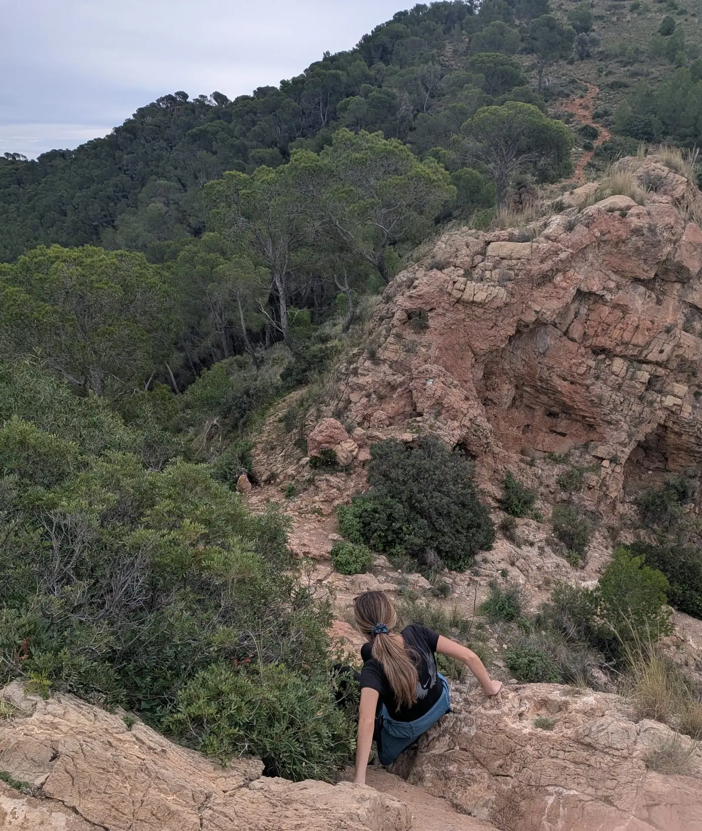
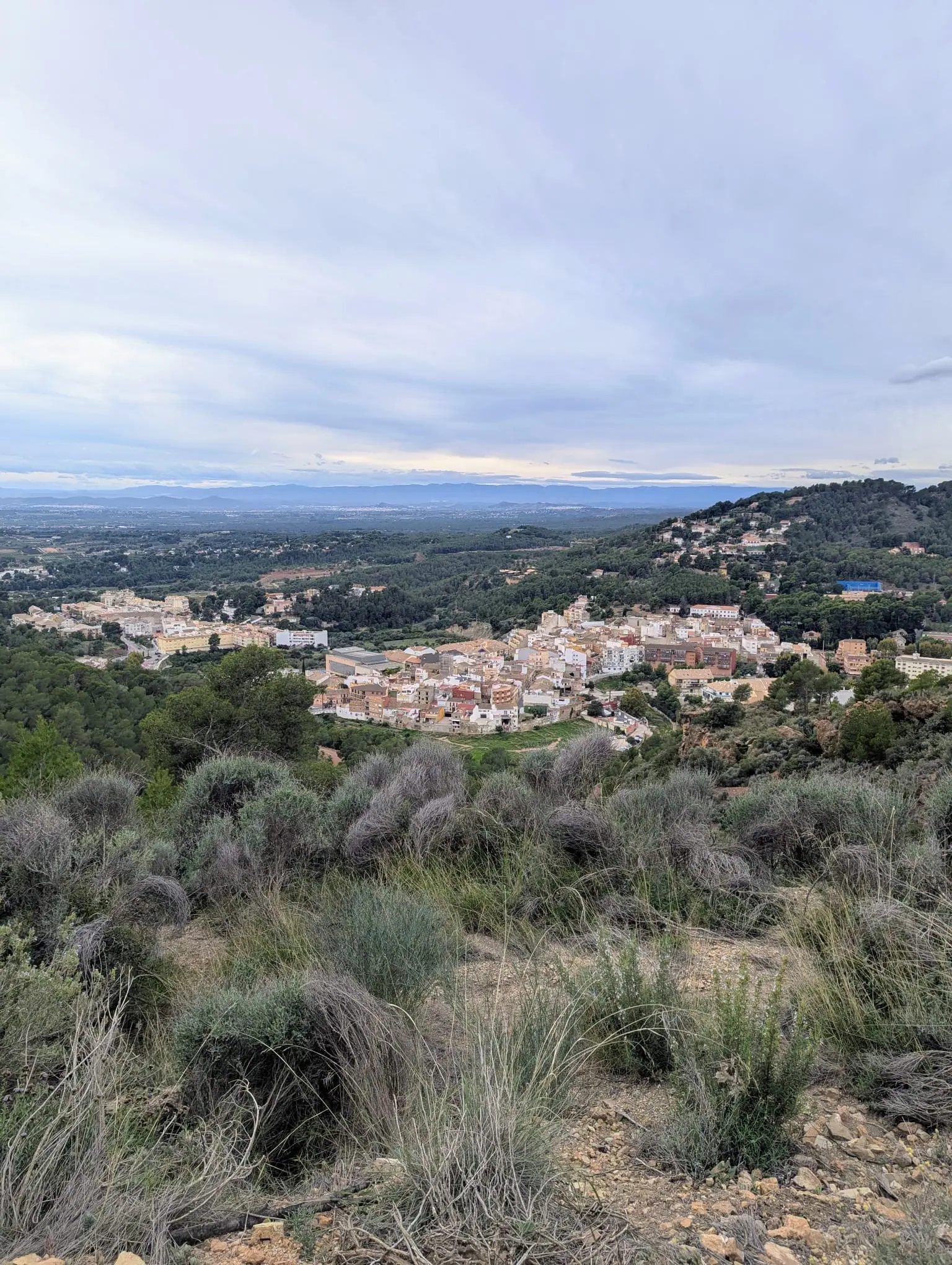
Most people go up to the cross and come back down the same way, which makes it a short morning. We carried on past it instead and came down the far side, finishing back in Náquera at the other end of the village, which turns it into a much longer loop. Either version works.
What else is in the park
The Calderona is big - 18,000 protected hectares - and there’s plenty I haven’t walked. Two more names come up again and again.
Rebalsadors, at around 800 metres, has what many people consider the best viewpoint in the range, looking out over the whole sierra and the plains below. It’s a long day: the full route from Serra is close to 19 kilometres.
El Pi del Salt, near Náquera, is a single pine tree roughly two hundred years old, with a trunk over six metres around, standing on its own in the forest.
Sierra Calderona: How to Get There from Valencia
Getting into the Sierra Calderona from Valencia is quick and straightforward, whether you drive or use public transport, thanks to the natural gateway pueblos lining the foot of the mountains.
Driving from Valencia: By car, the journey takes only 30 to 45 minutes depending on your destination. To reach the southern trails, castle walks, and the park visitor centre, take the A-7 motorway north from Valencia and follow the CV-310 straight into Náquera and Serra (you can also approach via Bétera). To reach the eastern slopes, the Garbí viewpoint, or Santo Espíritu, drive north along the V-21, join the A-23 motorway toward Sagunto, and take the exit for Gilet.
Public transport from Valencia: Reaching the park without a car is easier than most visitors expect for the southern side. Take Metro Line 1 to Bétera (about 30 minutes from central Valencia), and from the station pick up Metrobús line 133, which runs on to Náquera and Serra. For the eastern trails and Garbí, take the Cercanías regional train (Line C-5) to Gilet or Estivella-Albalat and walk up the marked mountain paths. Gilet also connects directly to Valencia via regional bus line L370. For Olocau, travel via Bétera or Llíria.
The gateway pueblos (Serra, Gilet, Náquera):
- Náquera: The southern entry gate, home to the official Sierra Calderona Natural Park visitor centre and information point, as well as the trailhead for the climb up to La Creueta.
- Serra: The central hiking capital in the heart of the range, surrounded by Moorish watchtowers and serving as the primary base for hiking to Castell de Serra and Rebalsadors.
- Gilet: The eastern gateway nestled under sandstone cliffs, offering direct access to the Monasterio de Santo Espíritu and the dramatic ascent up to Mirador del Garbí.
Practical notes
The paths are waymarked. The GR-10, a long-distance route, runs right through the range, and several of the walks here use stretches of it - white and red stripes on rocks and trees. Shorter local routes are marked in white and yellow, and you can download the official park map.
How long you need depends entirely on what you come for. The hikes here usually take several hours, and most of these places have more than one marked route, so you can make a day of it. But if you only want to see the Garbí viewpoint, half an hour at the top is enough.
Parking is free everywhere I’ve mentioned - Garbí, Portaceli, the monastery at Gilet.
Take water. This is dry Mediterranean forest and you can’t count on finding a fountain when you want one.
When to go
Avoid high summer if you can, or go early. This is Mediterranean forest, it gets very hot, and there’s little shade on the rock at Garbí in the middle of the day. Spring and autumn are best, and winter is perfectly good here - the range is low enough that it stays walkable all year.
One thing to know: the Calderona is close enough to Valencia that Garbí gets busy at weekends. If you want the viewpoint to yourself, go on a weekday morning.
Is it worth it?
If you’re visiting Valencia for a few days, the beach and the old town will probably win, and that’s fair. But if you’re here longer, or you live here, the Calderona is the answer to the question of where to go when you want forest, rock and a view without committing to a long drive. For more ideas in the city and across the region, check out my complete guides to things to see and do in Valencia and the best day trips from Valencia, covering mountain gorges, Roman aqueducts, and coastal castles.
It’s not the Pyrenees. It’s a low range of pine and cork oak with a good viewpoint and a lot of quiet paths, half an hour from a city of 800,000 people. That combination is rarer than it sounds, and it’s the reason I keep going back.
FAQs
Is Sierra Calderona worth visiting?
Yes. It gives you mountain views, pine and cork oak forest, historic ruins and varied walks less than an hour inland from Valencia.
Sierra Calderona: how to get there from Valencia?
By car, it takes 30 to 45 minutes: take the A-7 motorway north from Valencia and follow the CV-310 into Náquera and Serra, or take the V-21 and A-23 motorways north to Gilet. By public transport, take Metro Line 1 from central Valencia to Bétera, then board Metrobús line 133 to Náquera and Serra. For eastern trails and Mirador del Garbí, Cercanías line C-5 runs to Gilet and Estivella-Albalat.
How far is Sierra Calderona from Valencia?
The journey depends on which part of the park you visit, but places such as Mirador del Garbí are around 40 kilometres and roughly 45 minutes by car from Valencia.
Do you need a car to visit Sierra Calderona?
A car is the easiest way to reach the different villages, viewpoints and trailheads. Some places have public transport connections, but these generally leave you lower down and require extra walking.
Which Sierra Calderona walk is best for an easy visit?
Mirador del Garbí is the simplest choice for a major view, with only a short marked walk from the parking area. Portaceli is another easy option, following a broad track through the forest.
Read next
More posts for this trip mood
 Europe
 Valencian Community, Spain
Puntal dels Llops: The Iberian Fortress Half an Hour from Valencia
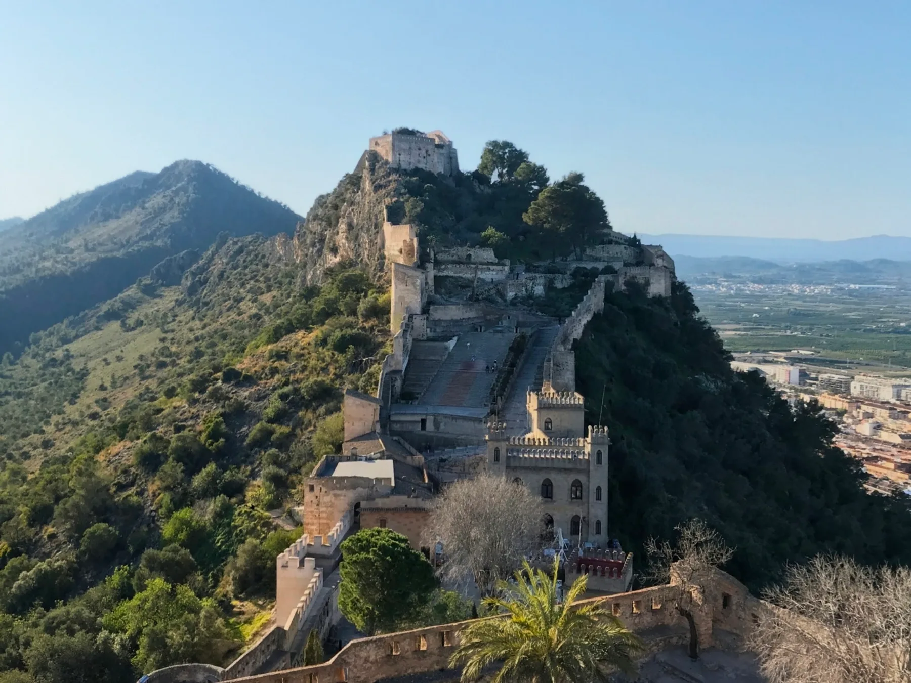
Puntal dels Llops is a small Iberian fortress from the fifth century BC, on a hilltop above Olocau.
 Europe
 Valencian Community, Spain
10 Best Day Trips from Valencia: What's Actually Worth the Drive
From limestone river canyons and Roman aqueducts to medieval hill castles and sunset lagoons, here are the 10 best day trips from Valencia, Spain.
 Europe
 Valencian Community, Spain
Things to See and Do in Valencia: What's Actually Worth Seeing
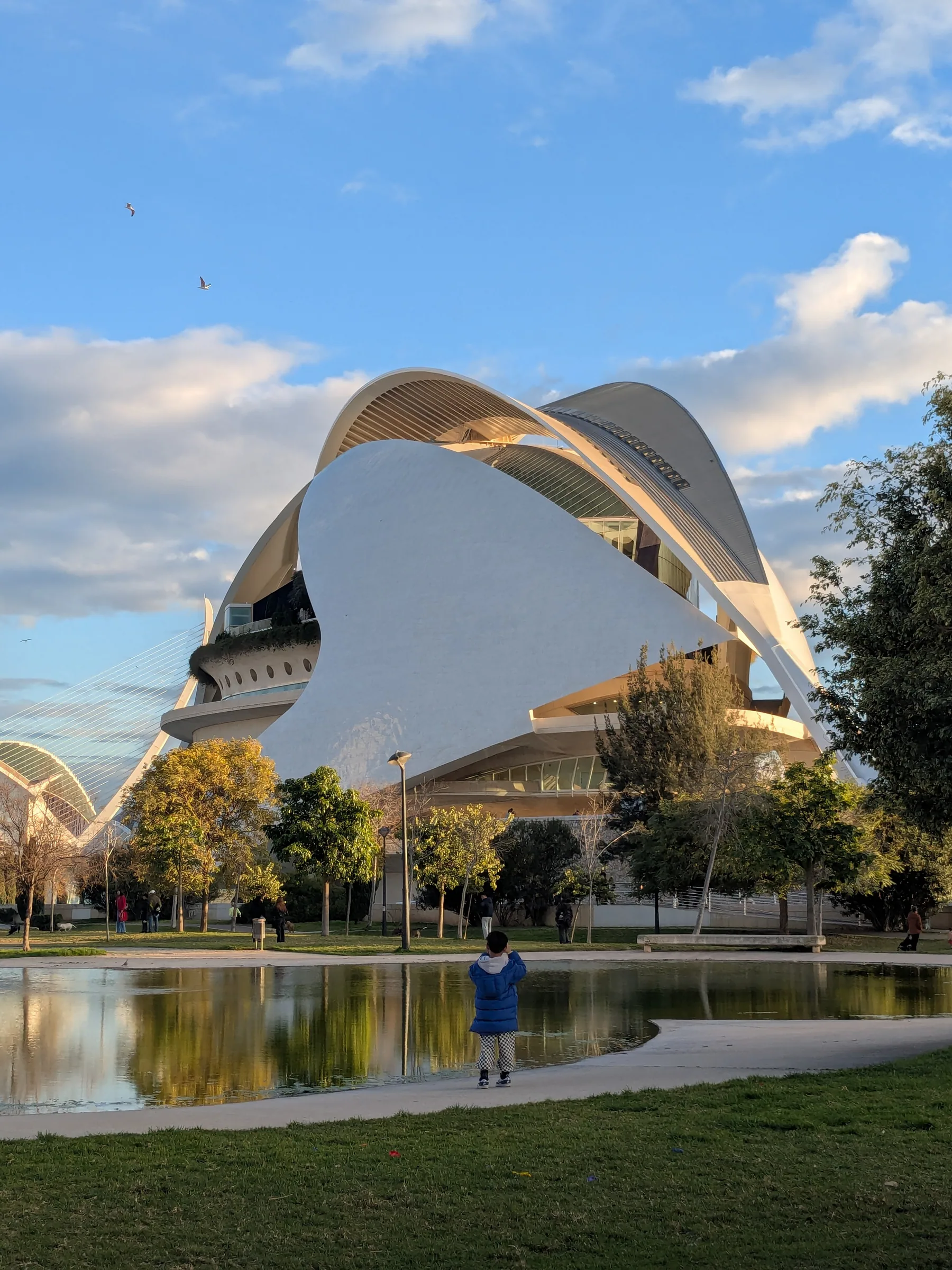
A firsthand local guide to Valencia, Spain. From historic El Carmen alleys and biking the Turia riverbed to the City of Arts and Sciences, beach days, and real paella.