


Puntal dels Llops · Valencian Community · Spain
Puntal dels Llops: The Iberian Fortress Half an Hour from Valencia
Puntal dels Llops is a small Iberian fortress from the fifth century BC, on a hilltop above Olocau.
I came across this place while researching what to see in the Sierra Calderona: a hilltop settlement above the village of Olocau, and, at the bottom of the page, a line about the town council running a free guided visit with a local guide. That seemed too good an opportunity to pass up.
It is in the Sierra Calderona; for more places to visit in the range, read my Sierra Calderona article.
We booked it by email the day before, and on Sunday morning at half past nine we met the guide at the car park. That is early, and it was already hot, so take plenty of water and sunscreen if you come in summer.
What followed was the best three and a half hours I’ve spent anywhere near Valencia.
What is up there
Puntal dels Llops is a small Iberian fortress from the fifth century BC, on a hilltop above Olocau. It covers about 960 square metres, and its job was to watch.
The guide started with the background, which is the part that makes everything else make sense. Long before the Romans arrived, this part of the coast belonged to the Edetani, one of the Iberian peoples. Their capital was Edeta, on the site of what is now the town of Llíria, half an hour west of here. Edeta controlled the surrounding territory through a network of small fortified lookouts placed on the hills around it, and Puntal dels Llops was one of them - one of the best preserved anywhere in the Valencian region.
Around thirty people lived up here, and not just anyone. The place was run by an aristocrat of the Edetan warrior elite, along with his family and the people who worked for them. They watched the territory, farmed, and worked the silver and lead out of these hills.
It was occupied for roughly three centuries and then destroyed. The excavations found collapsed walls and burning, so the end was violent, but exactly what happened isn’t known - and no remains of the people who lived here have ever been found. Thirty people, three hundred years, and then the record simply stops.
The walk up, and why the walk matters
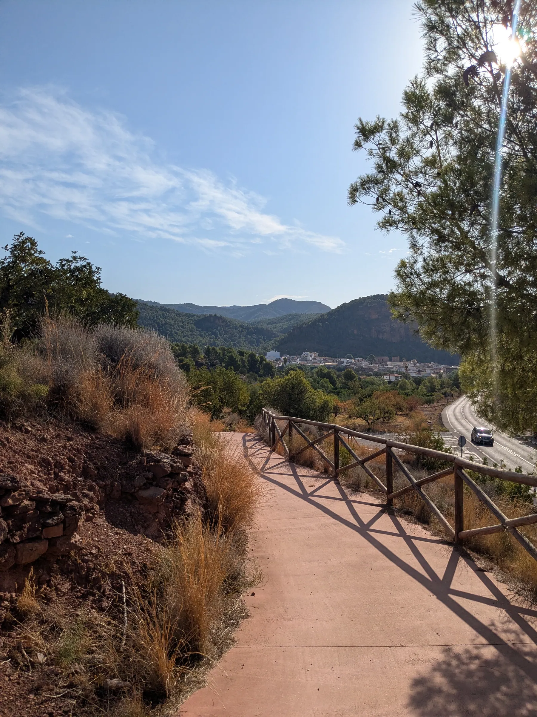
From the car park it’s about a kilometre and a half up to the site, with 130 metres of climbing. Not difficult, but it’s uphill, and in July you feel it.
The walk starts from the Senda Puntal del Llops point, where there is free public parking.
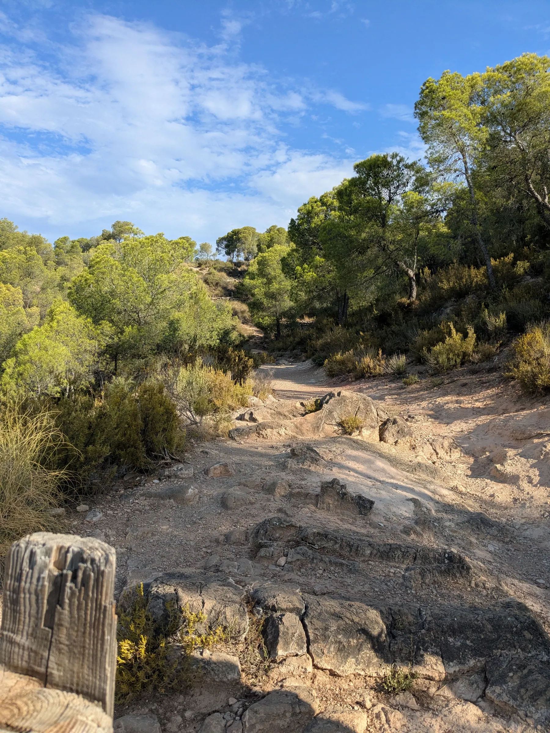
The guide stopped several times along the way to explain what happened here - the events that shaped this hillside, the people who fought over it, and, unexpectedly, the animals and plants around us as we walked. He was an archaeologist, which you could tell, and which matters: this is somebody who works on this material and clearly enjoys it, rather than a volunteer reading from a script.
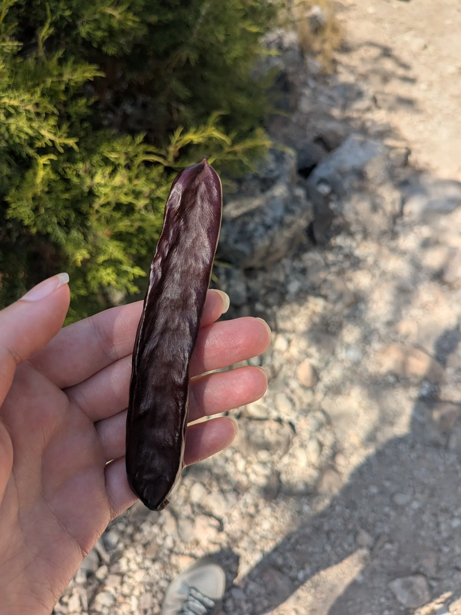
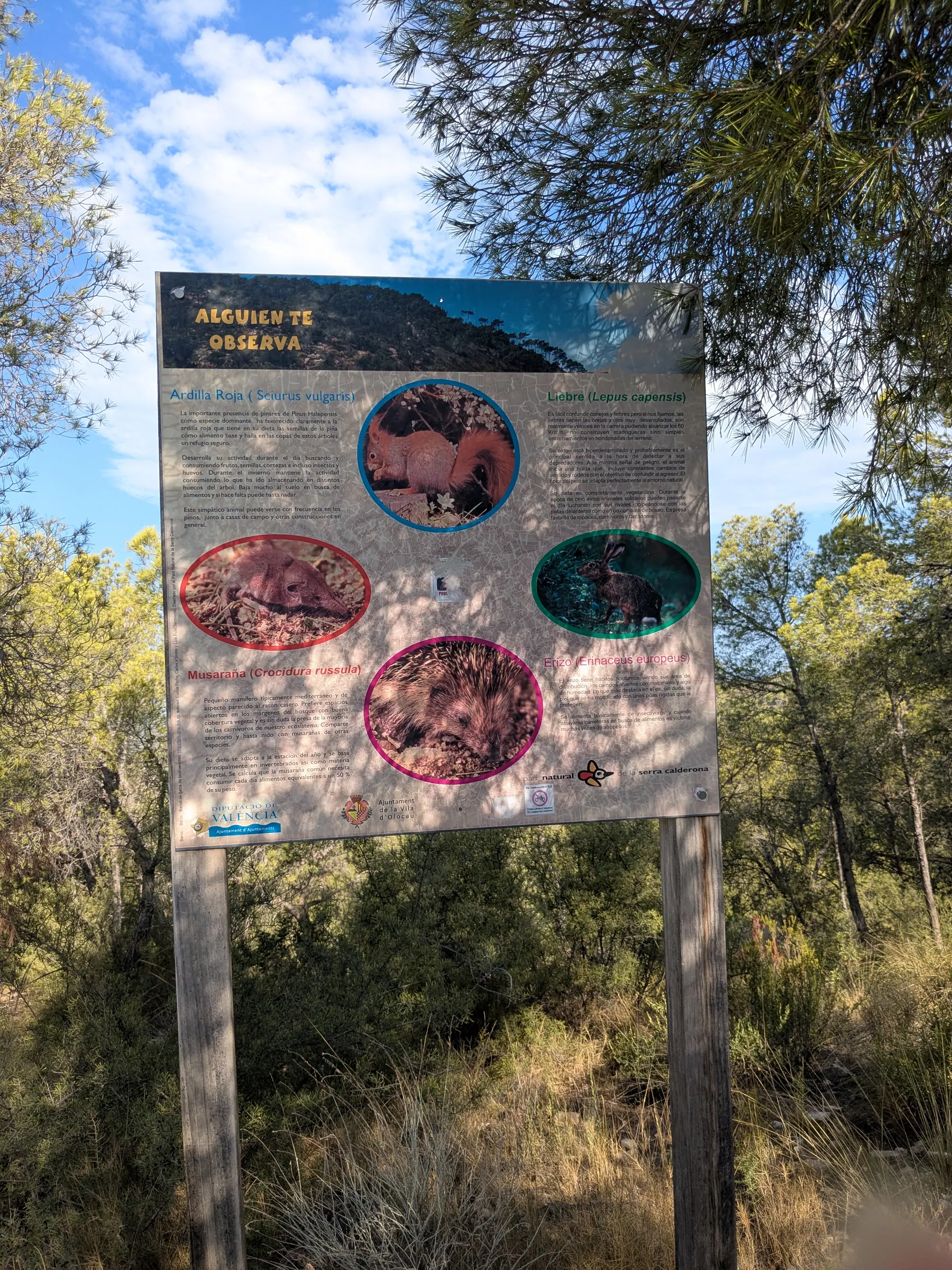
I’d assumed the walking would be the filler between the car and the ruins. It wasn’t. By the time we reached the top we had the whole background, and that’s the reason the site made sense when we got there.
I’ll be honest about something else: a lot of this I had studied at school. Over the years that knowledge quietly fades, and having it explained again, standing in the place it happened, was a better history lesson than any I remember getting.
Arriving at the top
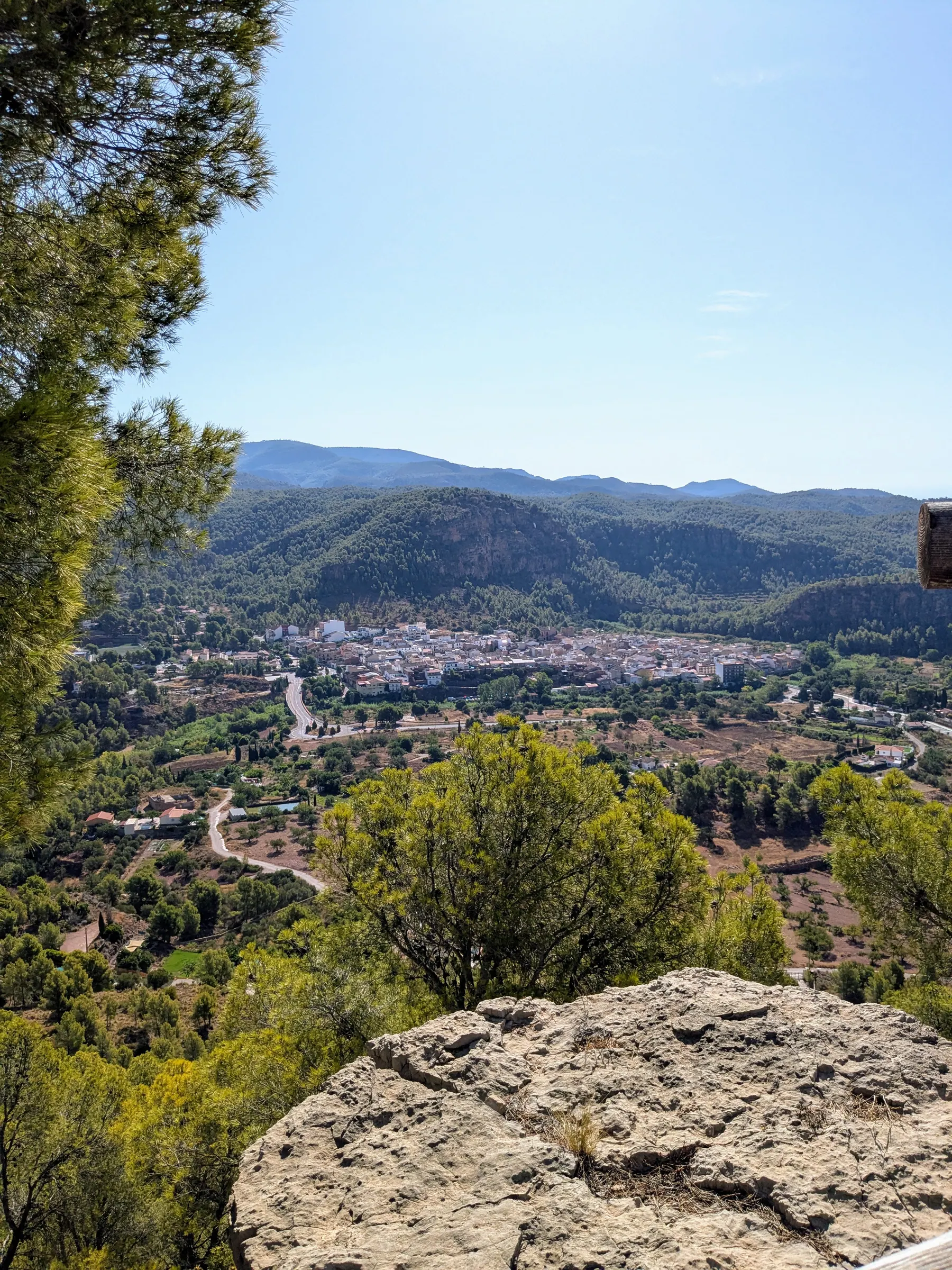
The first thing you notice is the view. It goes in every direction, right across the Camp de Túria plain to Valencia and the sea. That’s not a coincidence - the whole point of the settlement was to see everything coming, from every side.
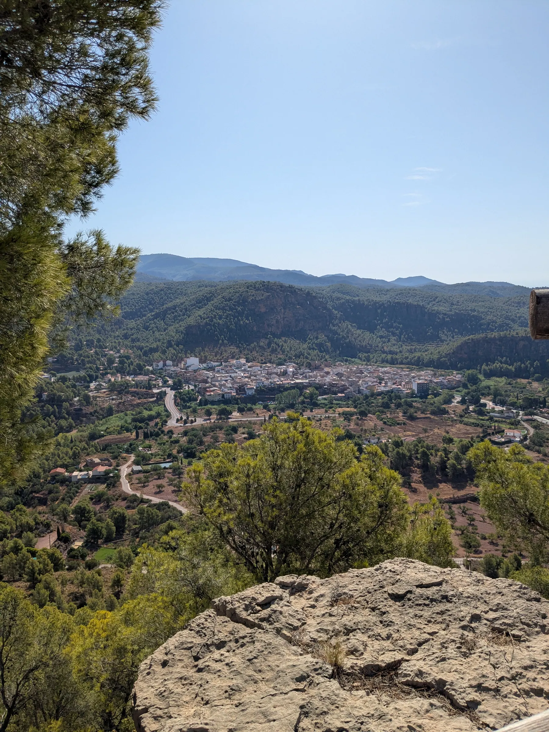
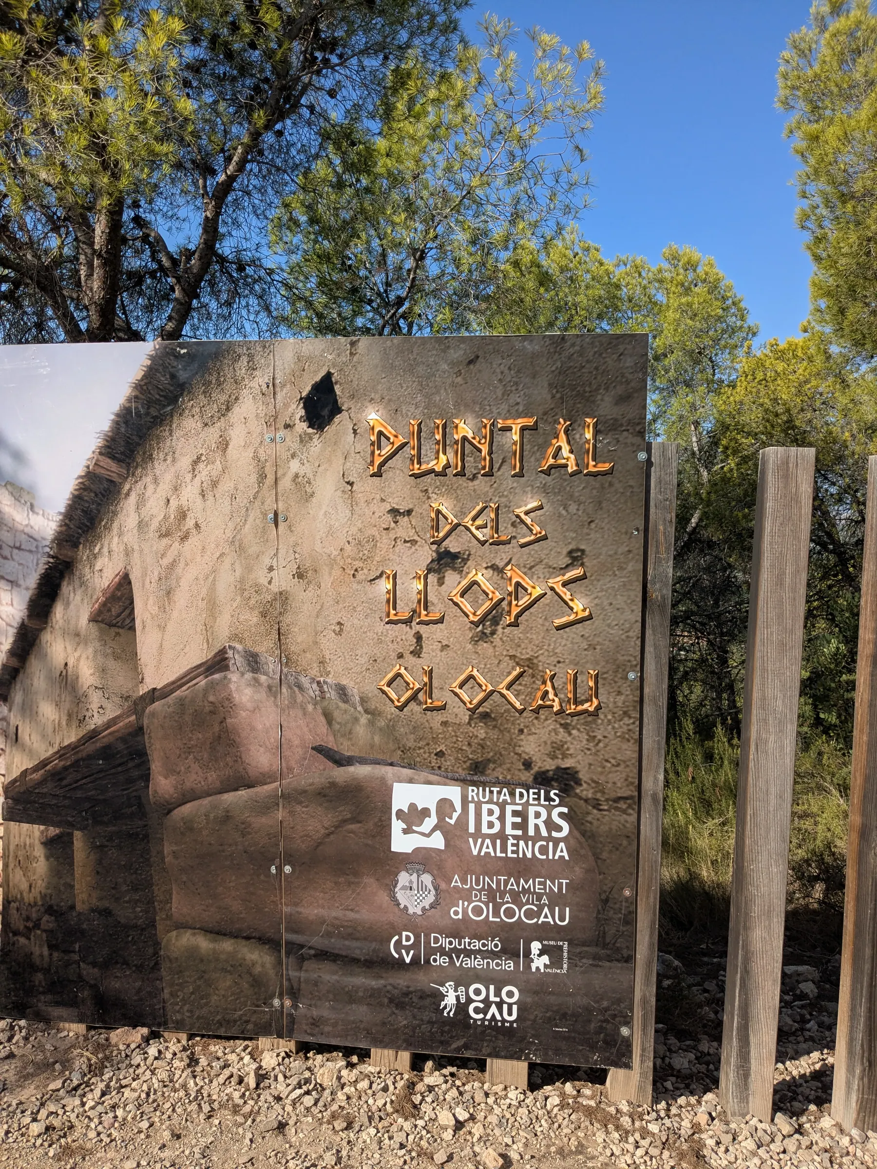
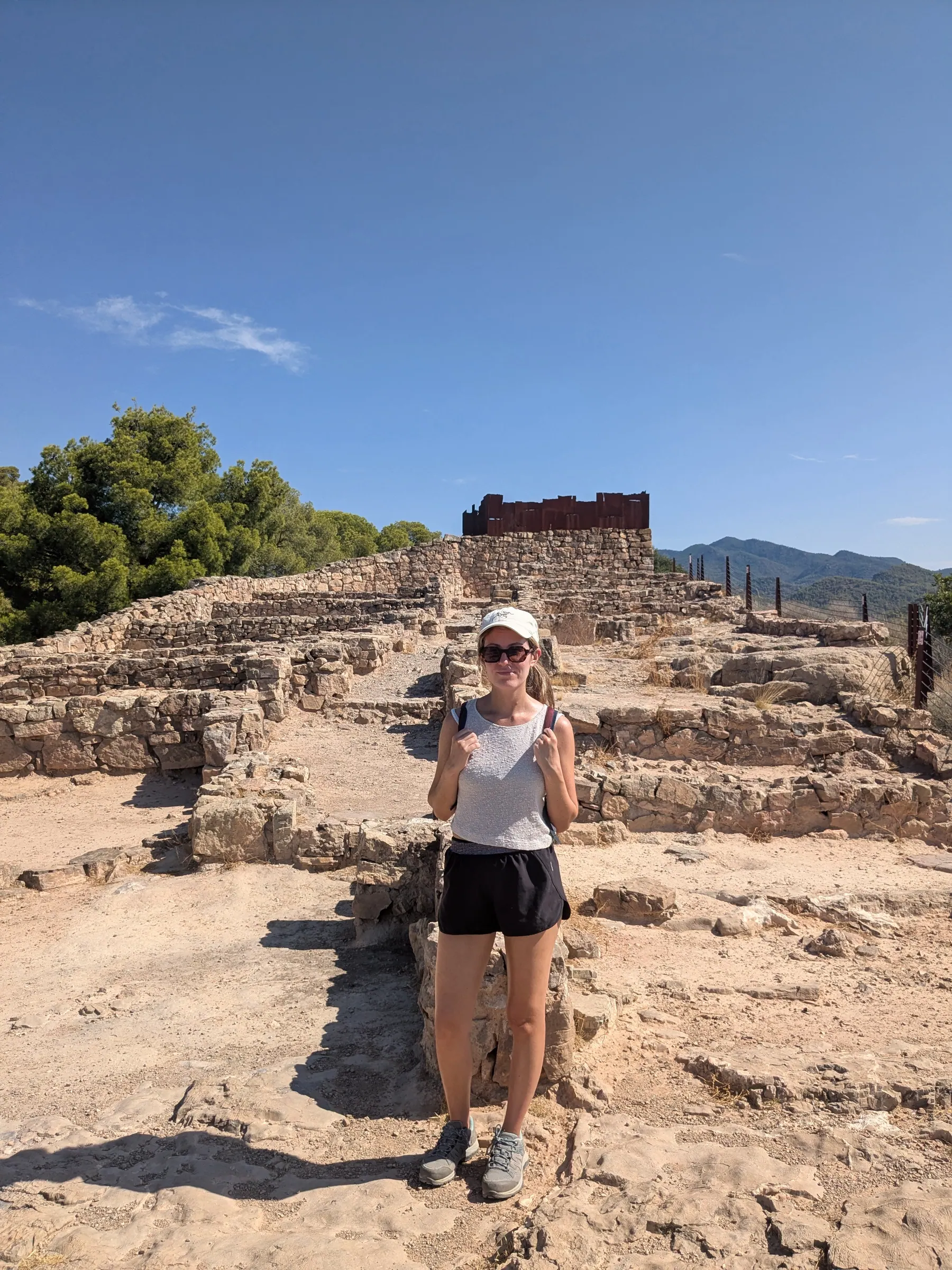
When you arrive at the top, you see wooden posts fitted into the wall that marks the edge and, beyond them, the remains of the fortress: the tower, and a run of rooms opening onto a single central street.
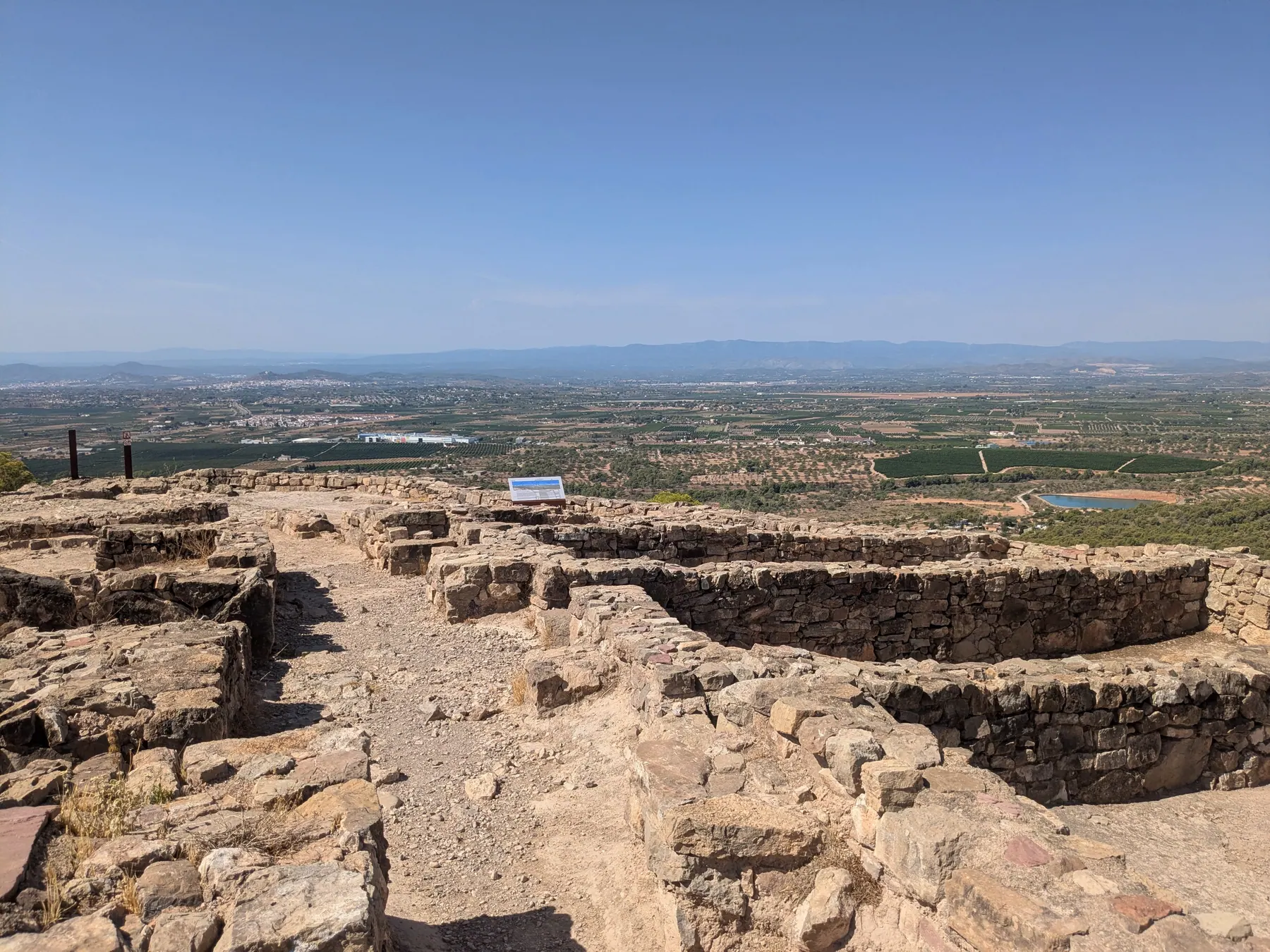
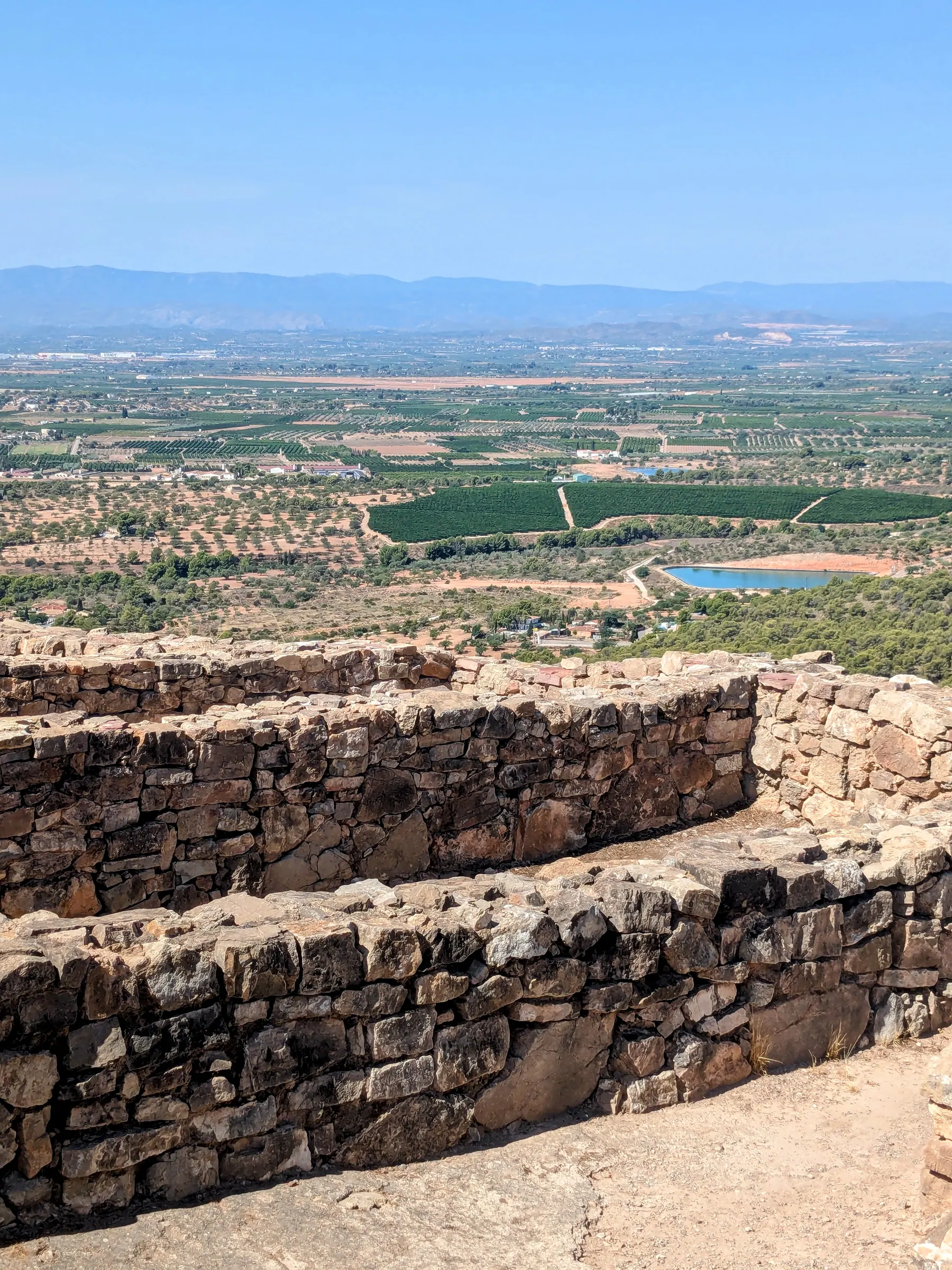
The fortress foundations and the plain beyond
What struck me was the shape. Seen from above and from reconstructed images, the layout looks oddly like a ship.
Today it’s stone foundations. The guide explained what was on top of them: walls of mud brick, roofs of branches and clay, a whole village with its tower. Once you have that, the low stones stop being rubble and become rooms.
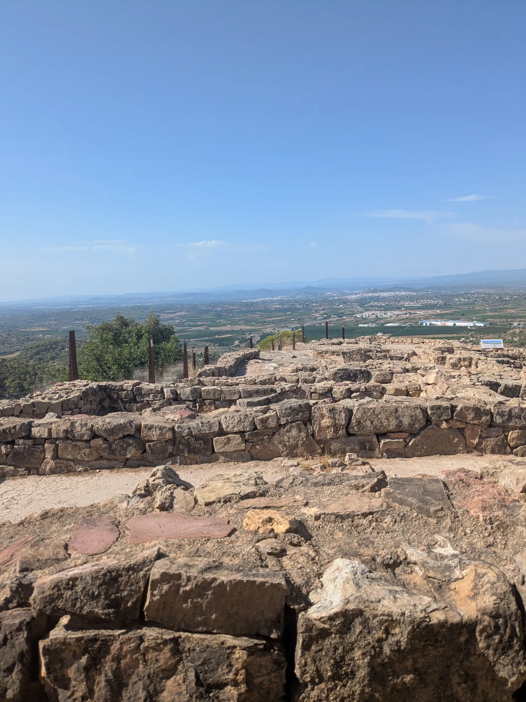
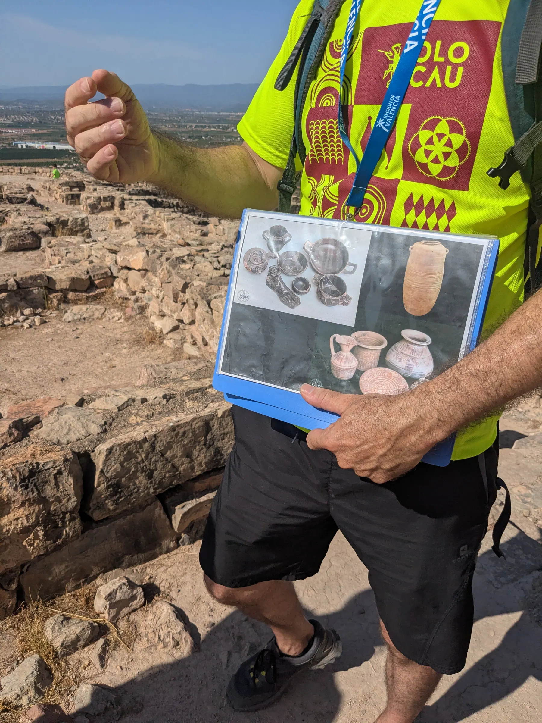
Walking through them, he told us what was found in each one, and what those objects say about the people who lived here - that they were wealthy, and that they weren’t a random group of farmers on a hill.
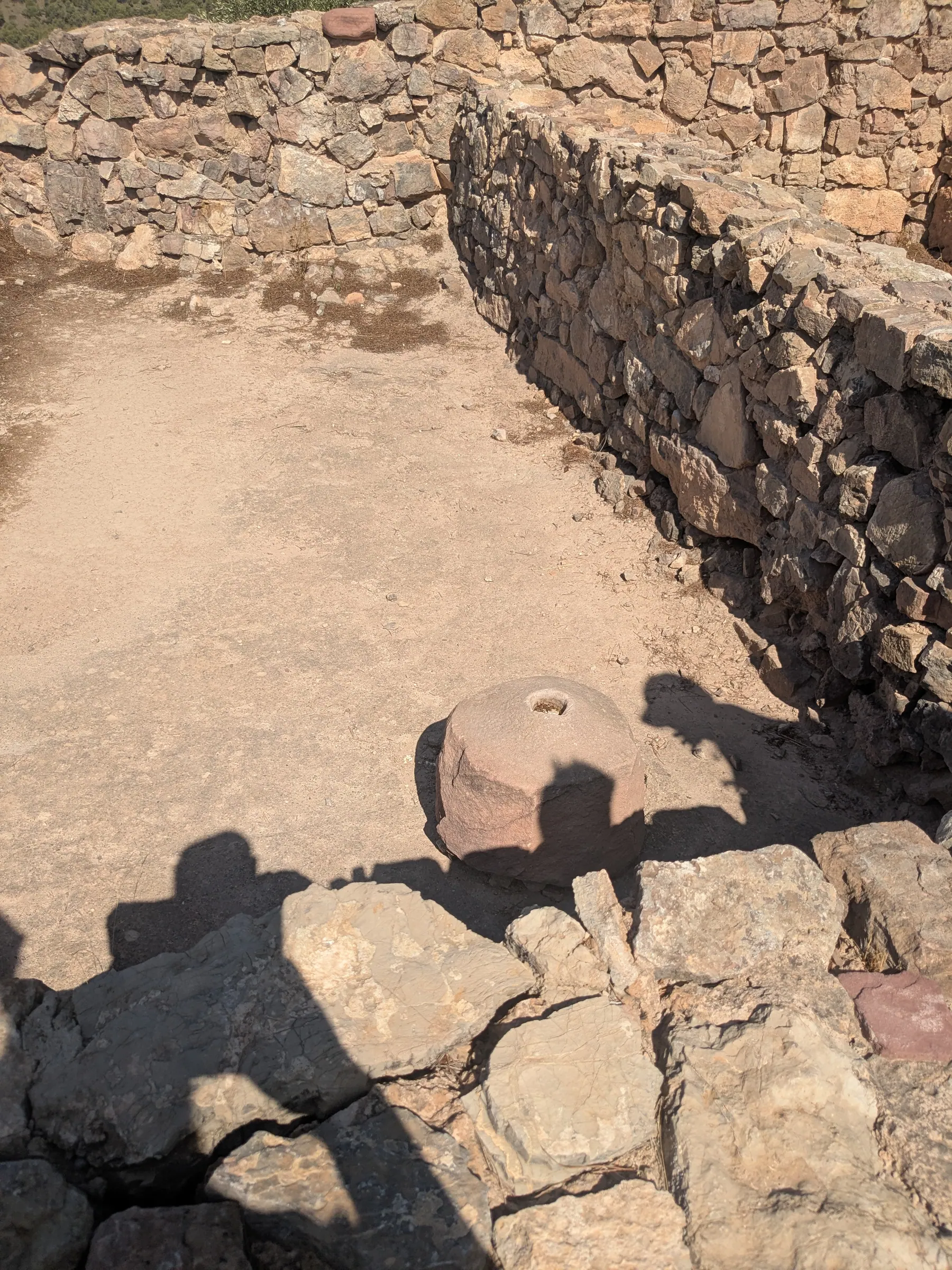
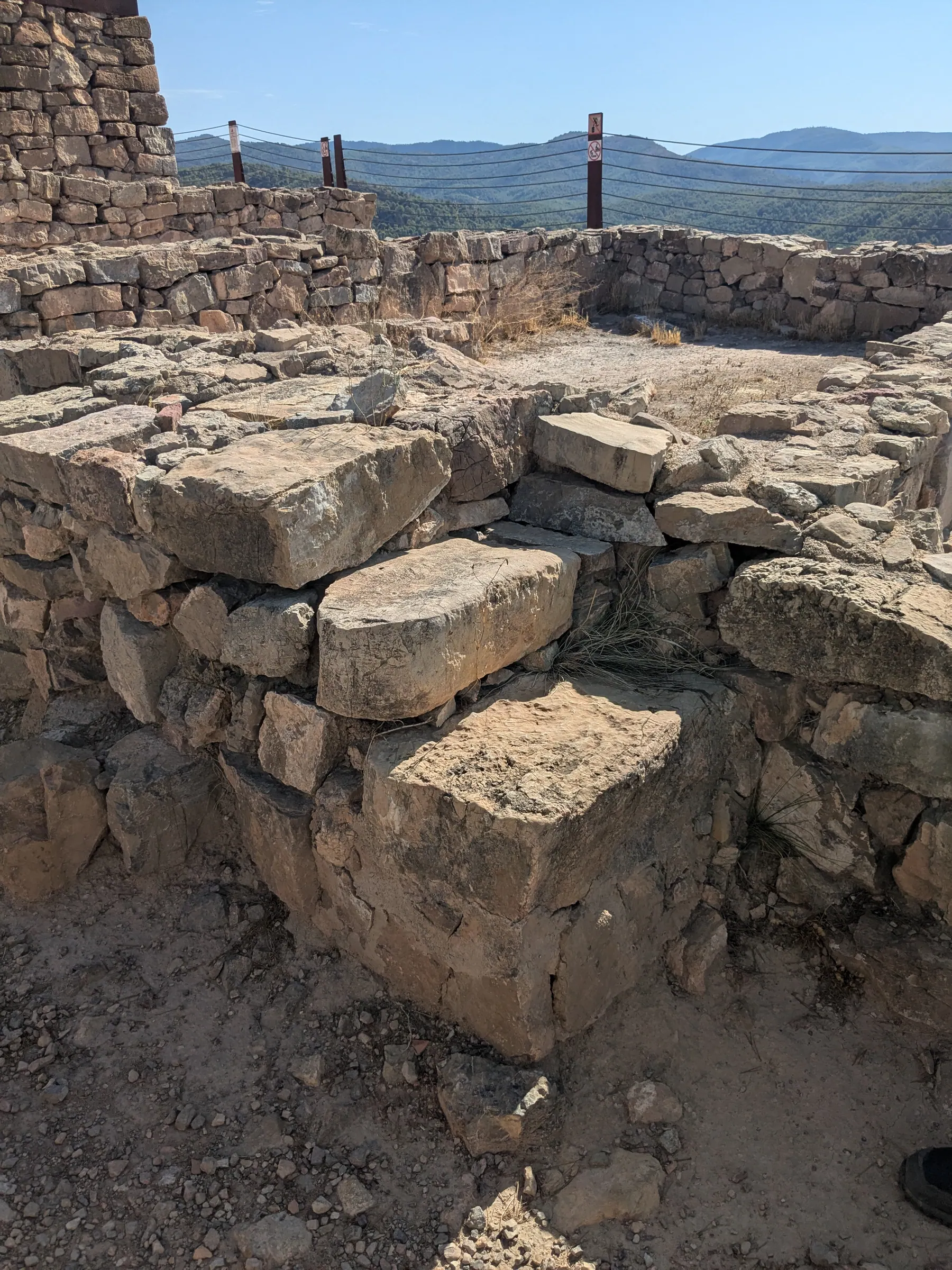
One of the parts I liked most was smaller than any of that. In one place you can see stones that formed a small set of steps. People used them. It’s the fifth century BC and you’re standing on the same stones, in the same doorway.
The walk up and back is three kilometres in total. We were out for about two and a half hours, because the guide kept going deeper into it, and nobody was in a hurry to stop him.
The museum in Olocau
The visit doesn’t end at the site. We walked back down to the car and drove into Olocau, to the Casa de la Senyoria, where the second half takes place.
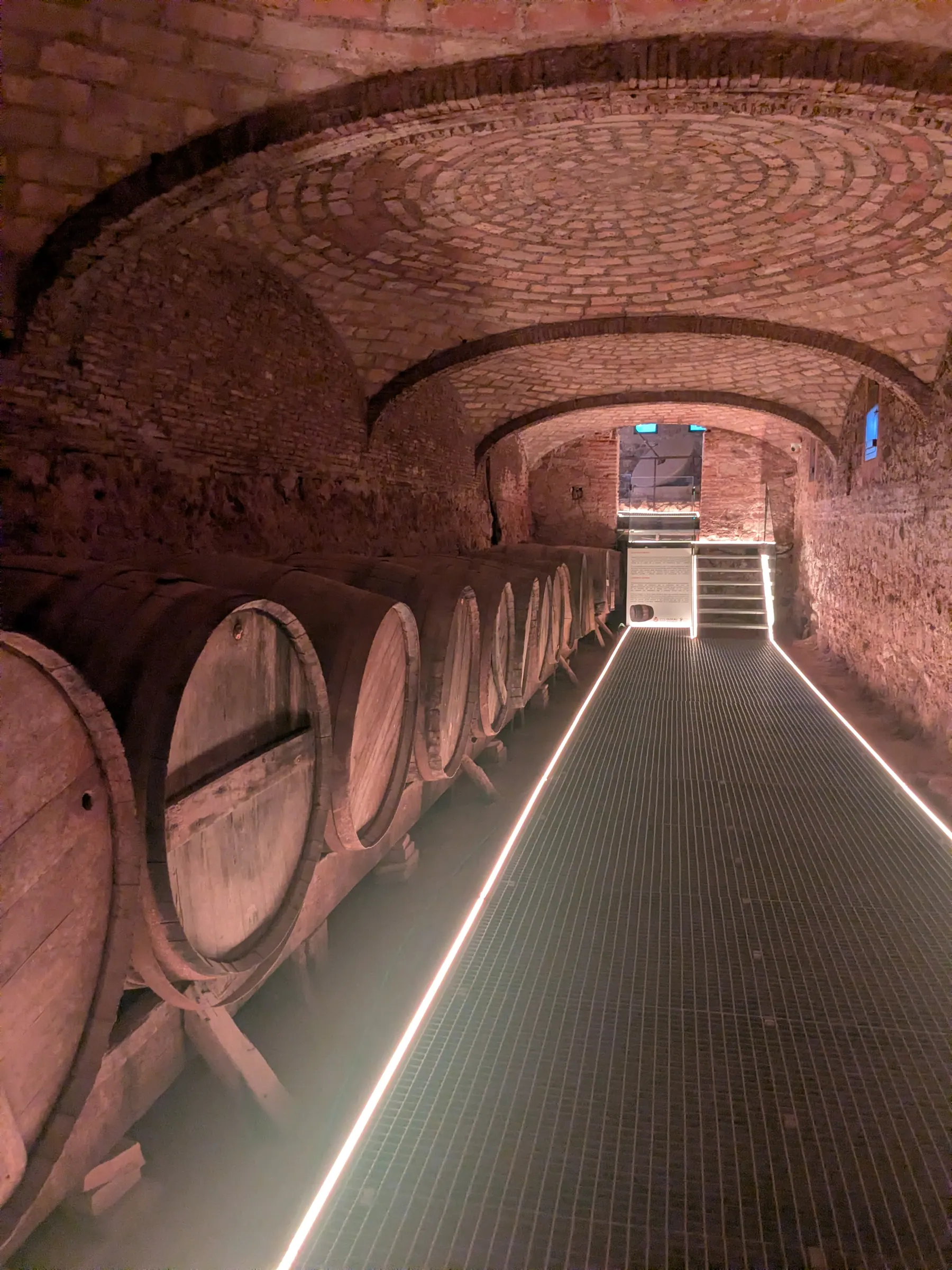
It’s an 18th-century manor house, the summer residence of the Counts of Olocau, and it’s now the tourist office and the visitor centre for the site. The house itself is fully visitable - the rooms, the kitchen, the granary and the stables, rebuilt in 1796. The one I liked best was the old wine cellar, with its barrels still in place.
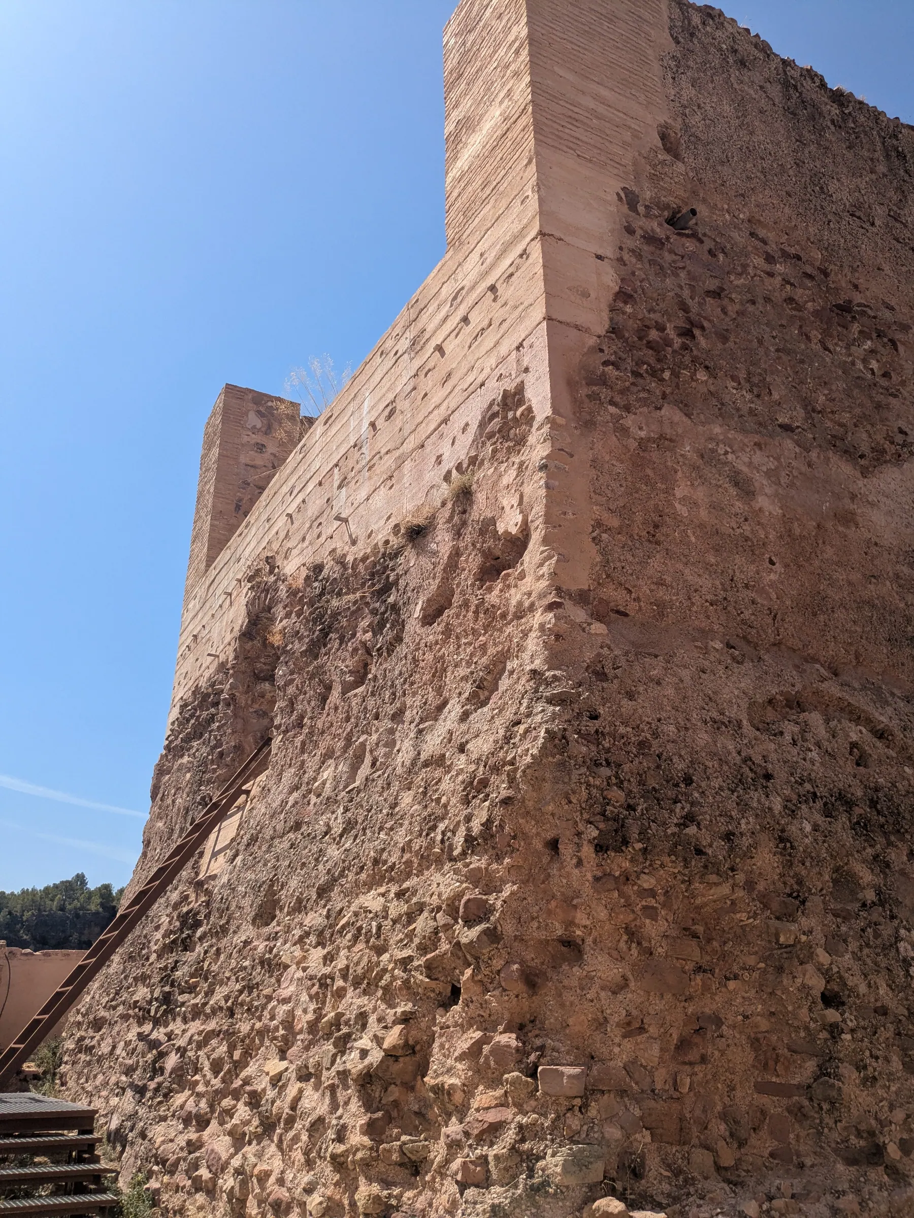
Attached to it is the Torre de Pardines, a 13th-century Islamic watchtower, which we looked at from outside. That tower is the real origin of the village: it stood above a Moorish farming settlement, and Olocau grew up around it.
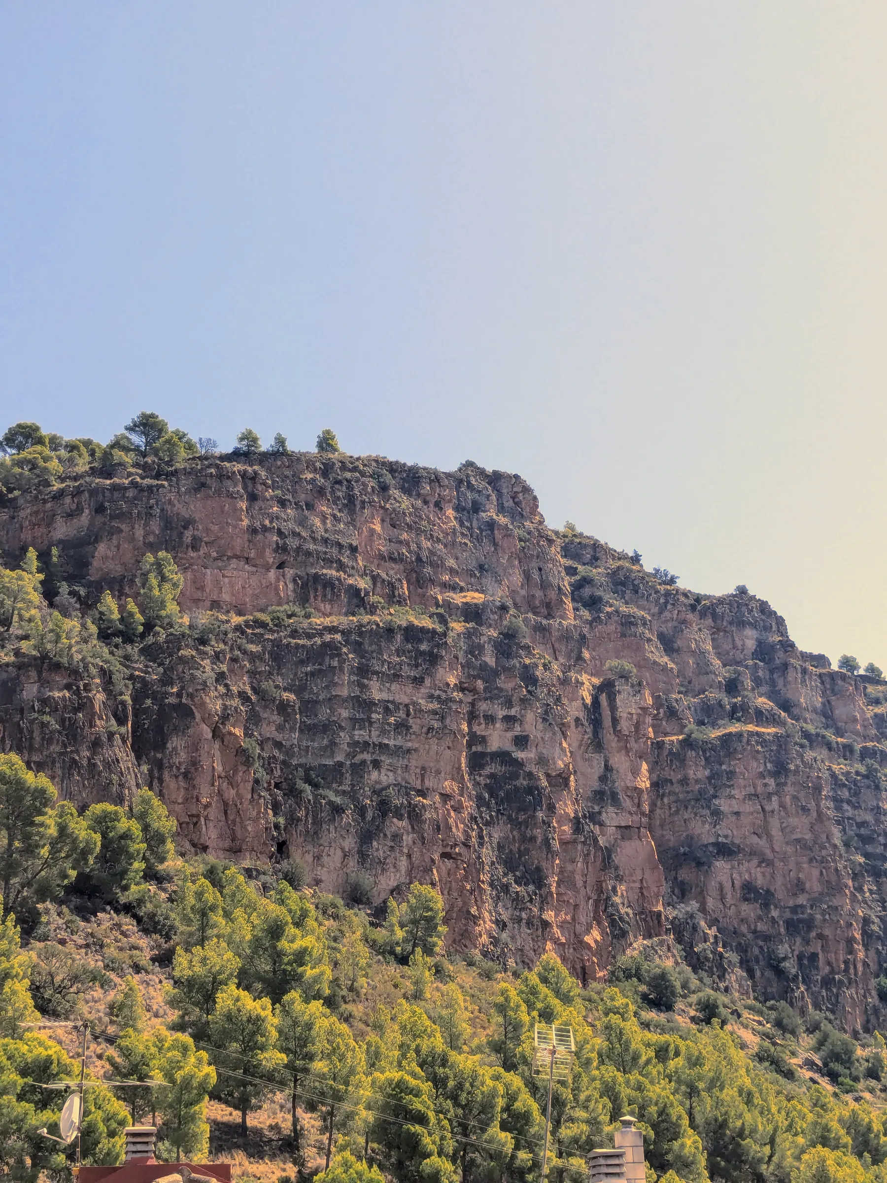
The reason to come, though, is the room holding the objects found at Puntal dels Llops, on loan from the Museum of Prehistory in Valencia, which ran the excavations.
This is where the abstract facts turn into objects. The mining and farming the guide described on the hill are here as mills for grinding grain and the tools that went with them - the ordinary equipment of thirty people making a living on a hilltop.
Two things stayed with me. The first is that these people were serious about honey: among the finds are containers made specifically for storing it, which is not the detail you expect to learn about an Iron Age hill fort. The second is the coins, which you can look at directly. They even had their kind of a ‘’microwave’’.
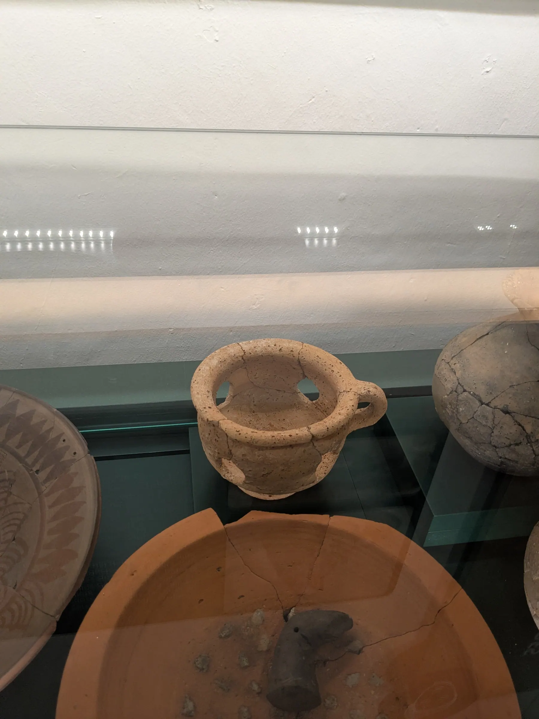
The museum is in very good condition and clearly cared for. We spent about an hour there.
One more thing worth knowing: the tourist office is at the entrance, and the staff went through other walking routes in the area with us, and told us about similar Iberian sites within reach of Valencia. If you like this sort of thing, ask.
The rest of Olocau
The Iberians weren’t the last people to decide this hillside was worth watching from. Above the village stands the Castell del Real, an 11th-century Islamic castle, which we didn’t climb to this time. Its Arabic name, Hins al-Uqab, appears in the Cantar de Mio Cid, the medieval Spanish epic - which makes this small village one of the places named in the poem.
If you can, come in June
Since 2013 Olocau has run a festival called Iberfesta, on the second weekend of June, and it grew directly out of the excavations at Puntal dels Llops. For three days the village turns itself into an Iberian one: costumed reenactments in the streets and at the Casa de la Senyoria, a craft fair, workshops, and games for children built around how the Edetani actually lived.
How to visit
Booking. Arrange it in advance through Olocau’s tourism pages. Book on their official web. We booked a day ahead in August and that was fine, but we had the guide to ourselves because everyone else was at the beach - outside August, give it more notice. There’s a minimum of two people for a visit to run.
Language. Ours was in Spanish. The tourism website is in English, but I wouldn’t assume an English guide is available, so ask when you book if you don’t speak Spanish.
Cost. Free.
Timing. Ours started at 9:30. The site and the walk took about two and a half hours, the museum another hour, so allow most of a morning.
Getting there. Olocau is about 38 kilometres from Valencia, a little over half an hour by car. There’s no direct bus from the city.
When to go. Spring and autumn are much better than summer. It’s uphill and completely exposed, and in July it takes more out of you than the distance suggests. If you do come in summer, take plenty of water and sunscreen and go for the earliest slot.
Who it suits. Anyone, really - they run school visits, so children will get something out of it. The one limitation is mobility: it’s a kilometre and a half of uphill path, so it isn’t accessible for anyone who can’t manage that.
Is it worth it?
Yes, absolutely. It’s a chance to get to know an ancient territory while walking through beautiful landscape.
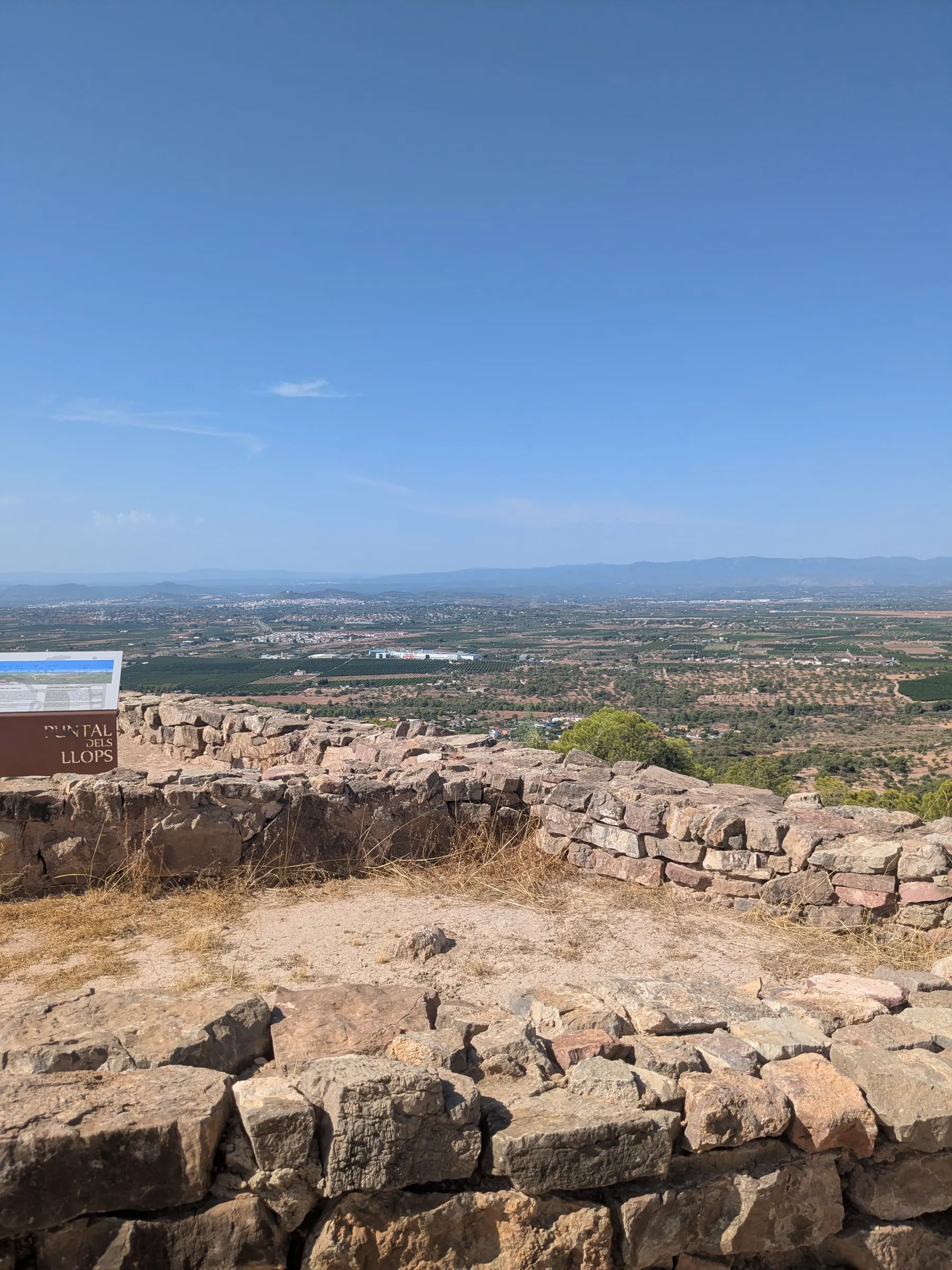
If you walked up here by yourself you’d find a hilltop with low stone walls on it and a very good view. What the guide does is put the roofs back on, fill the rooms, and tell you who lived in each one. It’s the difference between looking at ruins and understanding a village.
Half an hour from Valencia there’s a place where thirty people lived, watched the coast and worked metal two and a half thousand years ago. Whether you go on your own or with a local guide, it is an absolutely great historic place to visit. It’s one of the best things I’ve done near the city, easy to pair with my guide to things to see and do in Valencia, and easily one of the best day trips from Valencia if you love archaeology, hill forts, and open mountain views.
FAQs
Is Puntal dels Llops worth visiting?
Yes, absolutely. It's a chance to get to know an ancient territory while walking through beautiful landscape.
How long does a Puntal dels Llops visit take?
The site and the walk took about two and a half hours, the museum another hour, so allow most of a morning.
Do you need to book the Puntal dels Llops guided visit?
Arrange it in advance through Olocau's tourism pages. We booked a day ahead in August and that was fine, but outside August, give it more notice. There's a minimum of two people for a visit to run.
Is the walk to Puntal dels Llops difficult?
From the car park it's about a kilometre and a half up to the site, with 130 metres of climbing. Not difficult, but it's uphill, and in July you feel it.
Read next
More posts for this trip mood
 Europe
 Valencian Community, Spain
Sierra Calderona: The Best of Valencia's Mountains, From Iberian Ruins to a Dragon
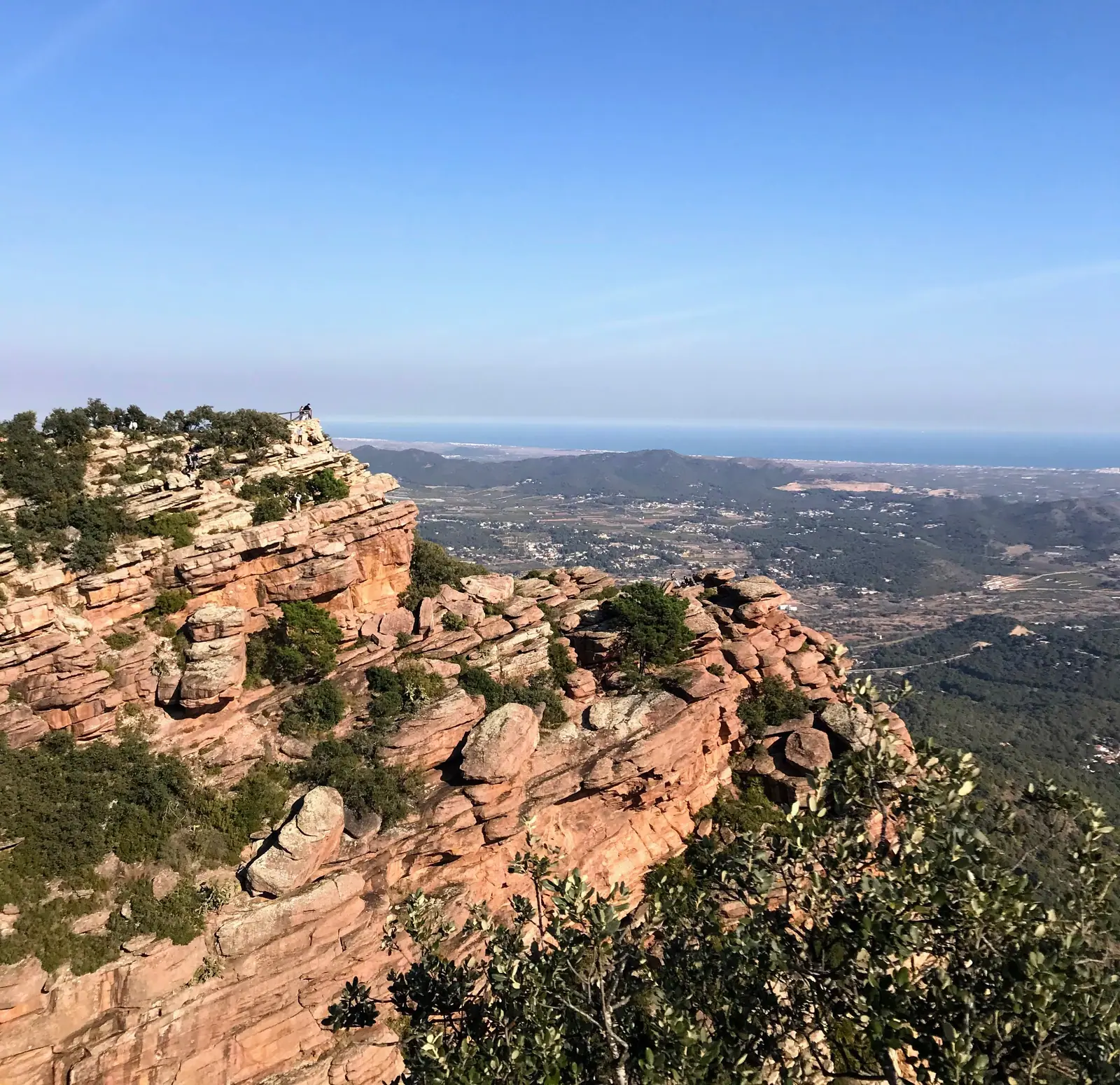
From a dragon-shaped house on a rust-red hillside to Iberian ruins and a mountaintop viewpoint, these are the Sierra Calderona day trips worth leaving Valencia's beach for.
 Europe
 Valencian Community, Spain
10 Best Day Trips from Valencia: What's Actually Worth the Drive
From limestone river canyons and Roman aqueducts to medieval hill castles and sunset lagoons, here are the 10 best day trips from Valencia, Spain.
 Europe
 Valencian Community, Spain
Things to See and Do in Valencia: What's Actually Worth Seeing
A firsthand local guide to Valencia, Spain. From historic El Carmen alleys and biking the Turia riverbed to the City of Arts and Sciences, beach days, and real paella.